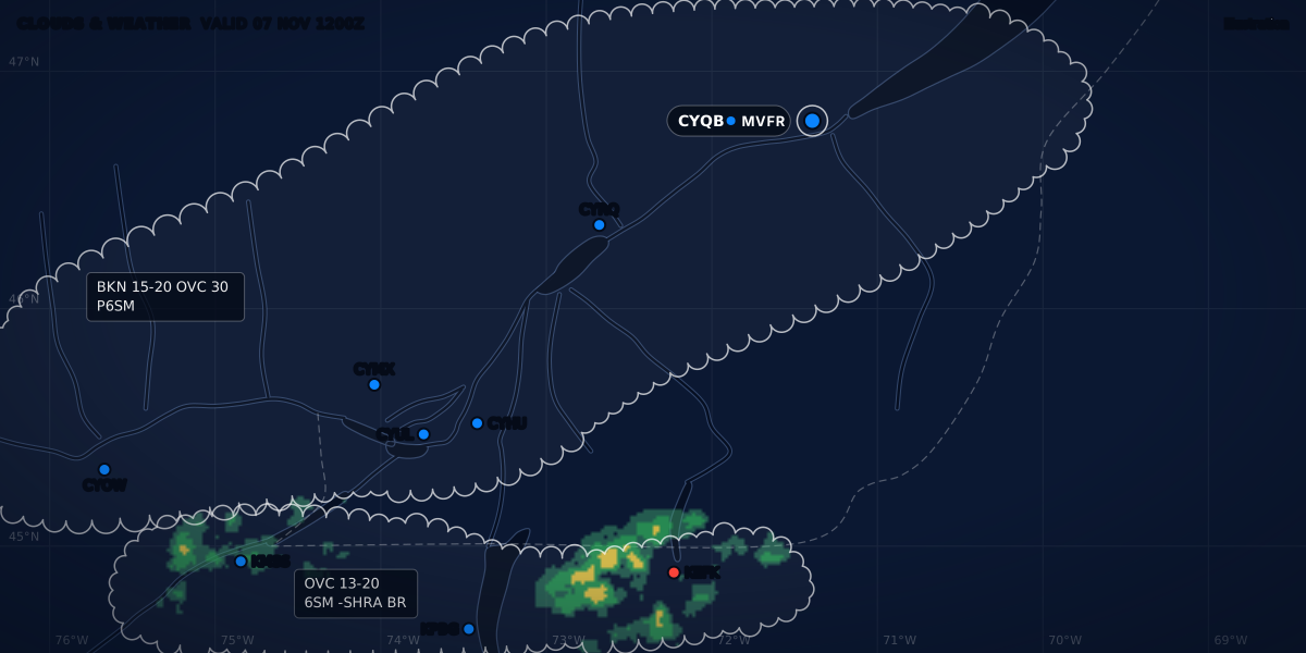
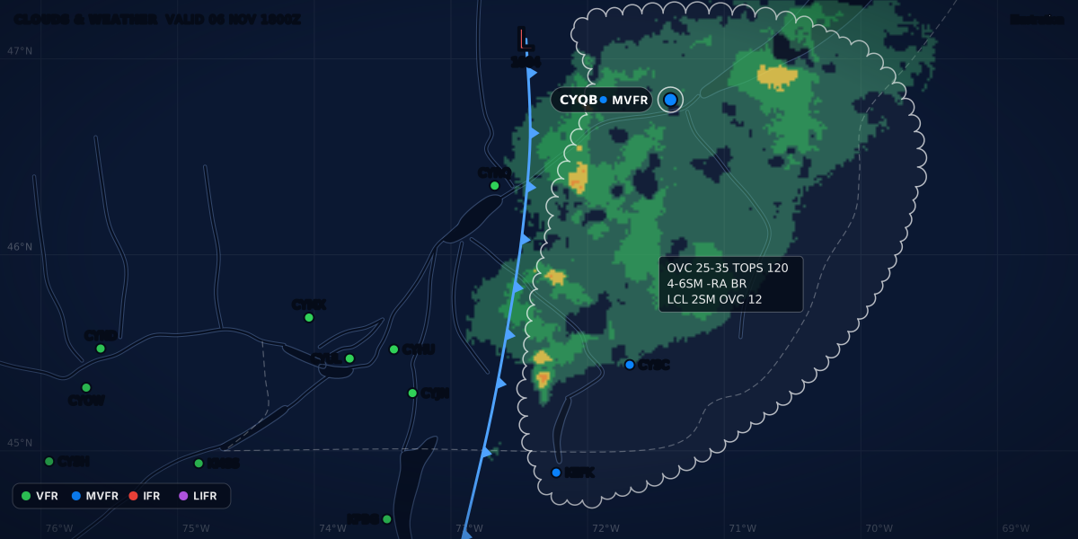
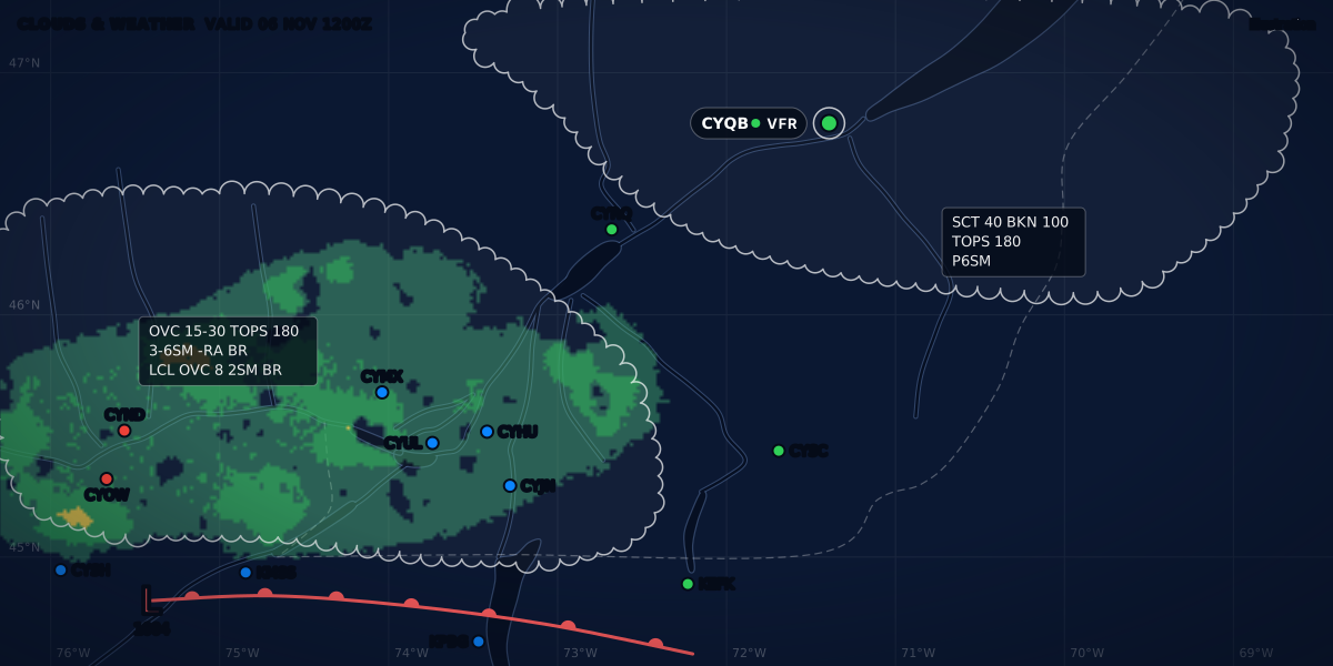
CLOUDS & WEATHER VALID 06 NOV 1800Z
Illustration
Weather briefing for pilots: how to brief, step by step
A weather briefing method that works anywhere: the legal rule, what to read in which order, where to brief in Canada, the US and France, and a checklist.
 Jp Valery
14 min read
A weather briefing is not one product or one phone call. It is a set order of reading before each flight: the big picture, the hazards, the route, the airports and the notices, then a decision. This guide gives that order, the rule behind it in Canada, the US and Europe, where to brief in each country, and a checklist you can print.
In this series:
- Personal minimums: your limits, written before you look at the weather.
- NAV CANADA weather on CFPS: self-briefing in Canada, and calling a flight information centre.
- No METAR at your airport: the weather for a field with no report.
- Headwinds and cruise altitude: pick the level from the winds aloft.
- Turbulence and passengers: a smooth-air check for the people on board.
- VFR days per year: how often the weather lets you fly, month by month.
Is a weather briefing required?
None of the rules below uses the word “briefing”. Each one asks you to know the weather before you go.
| Where | Rule | What it asks |
|---|---|---|
| Canada | CARs 602.72 | Before commencing a flight, the pilot-in-command shall “be familiar with the available weather information that is appropriate to the intended flight”. CARs 602.71 asks the same for “the available information” in general, not only the weather. |
| United States | 14 CFR 91.103 | Before beginning a flight, the pilot in command shall “become familiar with all available information concerning that flight”. For a flight under IFR or not in the vicinity of an airport, this includes weather reports and forecasts, fuel requirements, the alternatives if the flight cannot be completed, and any known traffic delays that ATC has advised. For every flight, it includes the runway lengths at the airports of intended use and the takeoff and landing distances. |
| EU | SERA.2010(b) | Before beginning a flight, the pilot-in-command shall “become familiar with all available information appropriate to the intended operation”. Away from the vicinity of an aerodrome and for all IFR flights, this includes “a careful study of available current weather reports and forecasts”, the fuel or energy needed, and an alternative course of action. |
| EU, non-commercial flights (Part-NCO) | NCO.OP.135(b) and NCO.OP.160(a) | Know “all available meteorological information appropriate to the intended flight”. Away from the vicinity of the place of departure and for IFR, study the current reports and forecasts and plan an alternative. Start or continue a VFR flight only if the latest information shows the route and the destination at or above the VFR operating minima at the estimated time of use (Regulation (EU) 2021/2237). |
Part-NCO applies to non-commercial flights in other-than-complex motor-powered aeroplanes and helicopters (Regulation (EU) No 965/2012, Article 5(4)). Three things follow from these texts:
- The rule is about what you know, not how you got it. No rule names a phone call, a briefer or a website.
- Who it covers. The Canadian rule applies to every flight. In the US and the EU, the general duty applies to every flight, and the explicit weather study applies to IFR and to flights away from the airport.
- “Available” means the latest. Transport Canada adds: “Pilots must use the most recent weather information available when flight planning”, be aware of scheduled updates, and watch for unscheduled amendments (TC AIM MET 1.2.2).
A method in 10 steps
The order goes from the big picture to the airports. The FAA’s standard briefing also starts with the hazards and the synopsis (FAA-P-8740-30), and Météo-France suggests an order for a briefing on its Aéroweb site that starts with the warnings and the general situation (Guide aviation 2024, p. 27). Transport Canada lists the products to review: “the relevant GFAs, AIRMETs, SIGMETs, TAFs, METARs, SPECIs, PIREPs and upper wind and temperature forecasts”, plus satellite, radar and lightning data when available (TC AIM MET 1.2.2). The aviation weather products guide explains each one.
- Start days ahead. The FAA pamphlet says to begin your weather planning several days before the flight, and to get an outlook the day or evening before. For the long view, VFR days per year shows how often a field is in the VFR category each month.
- Write your personal minimums first. Set your ceiling, visibility and wind limits before you read a single report, so the weather cannot talk you into a flight. The personal minimums checklist shows how.
- Read the general situation. Find the fronts, the lows and the way they move: the surface analysis chart (TC AIM MET 3.3), satellite and radar. The FAA standard briefing calls this the synopsis. On Aéroweb, the general situation comes second, after the vigilance map with its wind and thunderstorm alerts (Météo-France, p. 27).
- Check the hazards on the route. Read the SIGMETs, the AIRMETs or G-AIRMETs, and the pilot reports. In Canada, a SIGMET or an AIRMET amends the current area forecast as soon as it is issued (TC AIM MET 1.3.6), so read them with it. The AIRMET vs SIGMET guide and how to read a PIREP decode them. With passengers, add a smooth-air check.
- Read the route forecast. In Canada, the GFA: issued four times a day, valid 12 hours, with an IFR outlook for 12 more (TC AIM MET 1.3.6). The GFA guide reads it panel by panel. In the US, the GFA tool on aviationweather.gov shows observations, forecasts and warnings from 18 hours in the past to 18 hours ahead (AWC GFA help). In France, the TEMSI and WINTEM charts (Météo-France, p. 2). Then read the winds aloft at your cruising altitude: they set your time en route and your fuel (headwinds and cruise altitude).
- Check the departure, the destination and the alternates. The METAR for now, and the TAF for your arrival time. The worked example below shows how.
- Read the NOTAMs. For each aerodrome and for the route.
- Decide. Go, delay, change the route or the altitude, or cancel. Write down your alternative.
- Update before you leave. Know when the next forecasts come out, and check them.
- Keep the record, and keep updating in flight. Note what you got and when. Report what you meet.
Steps 6 to 10 have their own sections below.
Where to brief
| Country | Online | By phone |
|---|---|---|
| Canada | NAV CANADA’s CFPS site, plan.navcanada.ca: weather products, NOTAMs and flight plans. Near the border, US METARs, SPECIs and TAFs come from aviationweather.gov (TC AIM MET 1.1.3). | A flight information centre (FIC), open 24 hours (MET 1.3.1). 1-866-WXBRIEF (1-866-992-7433) goes to the FIC for the area you call from. 1-866-GOMÉTÉO (1-866-466-3836) goes to the Québec FIC for service in French and English (TC AIM RAC 3.2). |
| United States | aviationweather.gov, from the Aviation Weather Center, with the GFA tool. Online briefings on 1800wxbrief.com. | Flight Service, 800-WX-Brief (800-992-7433), run by Leidos Flight Service. |
| France | Aéroweb, aviation.meteo.fr (Météo-France, p. 3). The SIA site (“Préparation du vol”) and SOFIA-Briefing for NOTAMs, the AIP and AICs (p. 4). | A Météo-France aviation forecaster, 24 hours a day. Mainland France: 08 99 70 12 15, €2.99 per call plus the price of the call, at the tariff of September 1, 2016, which can change (p. 4). |
Canada. A FIC specialist can show weather charts, satellite, lightning and radar images, and NOTAMs, and is qualified to give briefings and interpret the weather (TC AIM MET 1.1.3). Before you call, have ready: the type of flight, the aircraft, the departure aerodrome and time, the destination and time en route, the cruising altitude, the route, the alternate, and what you already have (RAC 3.2). The specialist can skip what you already have, and ends by asking for your flight plan details and, if appropriate, a PIREP (RAC 3.2). The CFPS guide goes through a self-briefing, screen by screen.
United States. Ask Flight Service for one of three briefing types (FAA-P-8740-30):
| Briefing | Ask for it when | What you get |
|---|---|---|
| Standard | As close to departure as possible, once your route, altitudes and alternates are planned. | Adverse conditions, synopsis, current conditions (when departure is within 2 hours), en route forecast, destination forecast for your ETA with any significant change within 1 hour of it, winds aloft, NOTAMs. |
| Abbreviated | You need to update an earlier briefing, or you need one or two items. | Only what you do not have. Give the time and source of what you have. If you ask for one or two items, the briefer must still tell you if adverse conditions are present or forecast. |
| Outlook | Departure is 6 hours or more away. | The forecast for your departure time, for planning only. Get a standard briefing later. |
France. SOFIA-Briefing replaced OLIVIA and NOTAM WEB on November 15, 2022. Access is free; filing a flight plan needs a free account (AIC France A 06/22). Météo-France asks you to write down the information you get orally: by phone or at the weather office (p. 2).
Departure, destination and alternates
Here is a real-format example: the reports are constructed, not real. The TAF is the one the TAF guide decodes group by group.
You plan a VFR flight from Montréal / St-Hubert (CYHU) to Québec / Jean Lesage (CYQB) on November 6. You brief at 15:00Z (10:00 EST). You plan to leave at 17:00Z and land at 18:00Z (12:00 and 13:00 EST). Your personal minimums are this site’s sample for a new private pilot: a ceiling of 3,000 ft, a visibility of 5 SM and a crosswind of 10 knots.
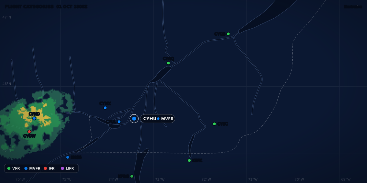
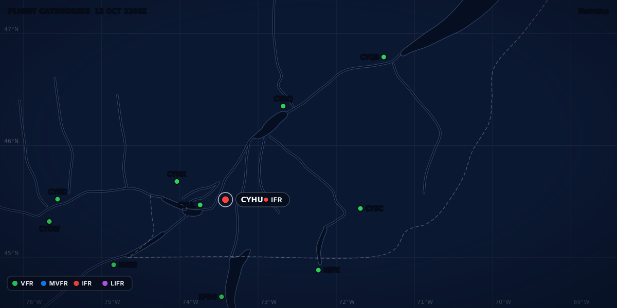
At 15:00Z, both airports report VFR:
But you land at 18:00Z, not at 15:00Z. A METAR tells you what was. The TAF for Québec, issued at 11:40Z, tells you what to expect. Read it for your arrival time plus or minus one hour:
In the window, from 17:00Z to 19:00Z:
- The main forecast is MVFR: 4 SM in light rain and mist, overcast at 2,500 ft.
- A TEMPO group adds spells of IFR: 2 SM, overcast at 1,200 ft.
- Both are below the sample minimums of 3,000 ft and 5 SM.
VFR, MVFR and IFR are flight categories. A category is a summary of the ceiling and the visibility; the legal limits are the VFR weather minimums, and the flight categories guide explains the difference. At each airport, also check the wind on the runway with the crosswind calculator and the climb performance with density altitude.
For an IFR flight, add the forecast for the alternate at your arrival time there. Whether you need an alternate, and what its forecast must show, is the subject of IFR alternate requirements.
No report at your field
I fly from CSE4 and CSB3, two fields with no weather report of their own. The rules above do not ask for a report at your own field: they ask you to know the weather information that is available (CARs 602.72, 14 CFR 91.103). The no-METAR guide shows what to use instead.
NOTAMs
- Canada. “Before commencing a flight, pilots must ensure that each pertinent NOTAM series and type has been reviewed” (TC AIM RAC 3.3). A FIC routinely gives the aeronautical information during a briefing (RAC 3.3), and CFPS shows the NOTAMs (MET 1.1.3).
- United States. 14 CFR 91.103 asks for all available information about the flight. A standard briefing gives the current NOTAMs for your route, but some must be asked for: GPS outages, military training routes, military operations areas and published NOTAMs (FAA-P-8740-30).
- France. The SIA site and SOFIA-Briefing give the NOTAMs (Météo-France, p. 4). SOFIA-Briefing adds an operational sort of the NOTAMs (AIC A 06/22).
Decide, and plan the alternative
The rules ask for a plan B. 14 CFR 91.103(a) names “alternatives available if the planned flight cannot be completed”. SERA.2010(b) asks for “an alternative course of action if the flight cannot be completed as planned”. Part-NCO asks you to plan one “because of meteorological conditions” (NCO.OP.135(b)(2)). The FAA pamphlet adds that you can always delay, postpone or cancel.
For the flight to Québec, the TAF gives four options:
| Option | What the TAF shows | Against the sample minimums |
|---|---|---|
| Leave at 17:00Z, land at 18:00Z | MVFR from 17:00Z, with IFR spells (TEMPO) until 21:00Z | Below: do not go as planned. |
| Leave at 15:30Z, land at 16:30Z | VFR at the ETA. In the window from 15:30Z to 17:30Z, MVFR and the TEMPO IFR start at 17:00Z, 30 minutes after you land. | No margin: a change that comes early meets you on arrival. |
| Wait for later today | MVFR until 21:00Z, then IFR, with a PROB30 group for LIFR from 00:00Z to 04:00Z | Below all evening. |
| Tomorrow | This TAF ends at 12:00Z on November 7 (07:00 EST). | Brief again on tomorrow’s TAFs. |
The FAA standard briefing gives the significant changes within 1 hour of your ETA (FAA-P-8740-30). The early option shows why this matters: the ETA is VFR, but the hour after it is not. If you take that option, write the alternative before you leave: where you turn, and where you land if the rain comes early.
If you go and you carry passengers, brief them too. safety-briefing.com has a passenger briefing that you can print. It is made by the same team as ClearMETAR.
Update before departure and in flight
Forecasts come out on a schedule, and they change between issues:
- The GFA. It is issued at about 2330, 0530, 1130 and 1730 UTC, for forecast periods that start at 00, 06, 12 and 18 UTC, with charts at the start, 6 hours and 12 hours (TC AIM MET 4.2). At the 15:00Z briefing in the example, the latest one is the 11:30Z issue, with a chart valid at 18:00Z. The next issue comes out at about 17:30Z, 30 minutes after takeoff.
- The TAF.
NXT FCST BY 061800Zgives the time of the next regular TAF (TC AIM MET 7.3). Between two issues, a TAF is amended as required (MET 1.3.3). In the example, the next TAF comes at 18:00Z, after takeoff, so the check before takeoff is for an amendment. - The warnings. In the US, a SIGMET is unscheduled: it is issued any time it is needed. Convective SIGMETs are the exception: they come out every hour (NWSI 10-811 6.1.2 and 6.2.3). In Canada, a new SIGMET or AIRMET amends the GFA (MET 1.3.6).
If your standard briefing is several hours old, or the weather is doubtful, the FAA pamphlet says to get an abbreviated briefing just before takeoff. ClearMETAR helps with this step: your stations are on one screen, each with its flight category, its wind and a bar of its TAF categories for the next 12 hours. With Pro, it alerts you when one of your stations issues a SPECI, changes category, gets an amended TAF or goes outside your limits. Its disclaimer says it too: its decoded text, categories, runway wind and limits do not replace “a weather briefing, or the pilot’s judgment”.
In flight, keep updating:
- Canada. Call a FIC on a FISE frequency when you need information to make a decision, to end the flight, or to change course before you meet adverse weather. Initial briefings in the air are not encouraged: they congest the frequency (TC AIM MET 1.1.4).
- United States. Contact Flight Service for an update or a briefing in flight (FAA-P-8740-30).
- Report what you meet. Transport Canada urges pilots to report cloud tops, upper cloud layers, the wind at the cruising level and other weather. Environment and Climate Change Canada (ECCC) meteorologists use these reports to confirm or amend the forecasts (TC AIM MET 1.1.6.1).
Keep the papers. Météo-France says the documentation helps you in flight, and after an incident it lets you show the authorities that you met the rules (p. 2).
The printable checklist
- Personal minimums: ceiling ____ ft, visibility ____ SM, crosswind ____ kt
- Route and cruising altitude: ____
- ETD ____Z, ETA ____Z, alternate: ____
- Surface analysis, satellite, radar: fronts and lows
- SIGMETs, AIRMETs or G-AIRMETs, PIREPs
- Area forecast for the flight time (GFA, GFA tool or TEMSI), issued ____Z
- Winds and temperatures at the cruising altitude, freezing level
- METAR at the departure, the destination and the alternates
- TAF for ETA ± 1 h, with the TEMPO and PROB groups, issued ____Z
- Runway wind and density altitude
- Heights: METAR and TAF above ground; GFA and PIREP normally above sea level
- NOTAMs for each aerodrome and the route
- Go, delay, change or cancel: ____
- Alternative written: ____
- Next GFA ____Z, next TAF ____Z; amendments checked before takeoff
- In flight: FIC or Flight Service; file a PIREP
Common traps
- A list of METARs is not a briefing. Météo-France says it plainly: a list of METARs is not enough for a cross-country flight (p. 2). A METAR is the past; your flight is in the forecast.
- Good weather at departure. It does not mean good weather on the whole route (Météo-France, p. 2).
- VFR at the stations, not between them. Areas on the route can be below the VFR minimums while the reporting stations are at or near them (FAA-P-8740-30).
- No warning is not a clear sky. The absence of an advisory does not mean the absence of hazardous weather. And when the briefer does not say “VFR flight not recommended”, it does not guarantee a flight free of adverse weather (FAA-P-8740-30).
- Above ground or above sea level. Heights in METARs and TAFs are above ground. Heights in GFAs and PIREPs are normally above sea level (TC AIM MET 1.2.2).
- A GFA chart is a snapshot. Each panel shows one time. Between two panels, move the fronts yourself, check the latest observations, and check for an AIRMET that amended the chart (TC AIM MET 4.2); how to read a GFA shows how.
Sources
- CARs 602.71 (pre-flight information) and 602.72 (weather information), Justice Laws Website
- TC AIM (TP 14371E) 2026-2, MET 1.1.3, 1.1.4, 1.1.6.1, 1.2.2, 1.3.1, 1.3.3, 1.3.6, 3.3, 4.2 and 7.3, Transport Canada
- TC AIM (TP 14371E) 2026-2, RAC 3.1, 3.2 and 3.3: flight planning, pilot briefing service, aeronautical information, Transport Canada
- 14 CFR 91.103: Preflight action, eCFR
- Regulation (EU) No 923/2012 (SERA), consolidated text of May 1, 2025, SERA.2010(b) Pre-flight action, EUR-Lex
- Regulation (EU) No 965/2012 (air operations), consolidated text of May 25, 2026, Article 5(4): scope of Part-NCO, EUR-Lex
- Regulation (EU) 2021/2237: Part-NCO, NCO.OP.135(b) flight preparation and NCO.OP.160 meteorological conditions, EUR-Lex
- FAA-P-8740-30: How to Obtain a Good Weather Briefing, FAA Safety Team
- NWS Instruction 10-811, En Route Forecasts and Advisories (September 2, 2025), 6.1.2 and 6.2.3: SIGMET issuance, National Weather Service
- Graphical Forecasts for Aviation (GFA) help, NOAA Aviation Weather Center
- Flight Service (800-WX-Brief), Leidos Flight Service
- Guide aviation 2024, pp. 2-4 (flight preparation, Aéroweb, phone, SIA) and 27 (briefing order on Aéroweb), Météo-France
- AIC France A 06/22: SOFIA-Briefing in service (November 15, 2022), Service de l'Information Aéronautique
Rules checked on
Common questions
Is a weather briefing required by law?
The rules do not use the word briefing, but each one requires you to know the weather before you go: CARs 602.72 in Canada, 14 CFR 91.103 in the US and SERA.2010(b) in the EU. In the US and the EU, the explicit study of weather reports and forecasts applies to IFR flights and to flights away from the airport.
Do I have to call a briefer?
No. CARs 602.72, 14 CFR 91.103 and SERA.2010(b) ask you to be familiar with the available information, and none of them names a phone call, a briefer or a website.
How long before departure should I brief?
No rule gives a number. The FAA pamphlet FAA-P-8740-30 says to ask for an outlook briefing when departure is 6 hours or more away, a standard briefing as close to departure as possible, and an abbreviated update just before takeoff when the standard briefing is several hours old; TC AIM MET 1.2.2 asks you to use the most recent information and watch for amendments.
Let the app do the decoding.
ClearMETAR turns every METAR and TAF into one plain sentence. Free on iPhone.