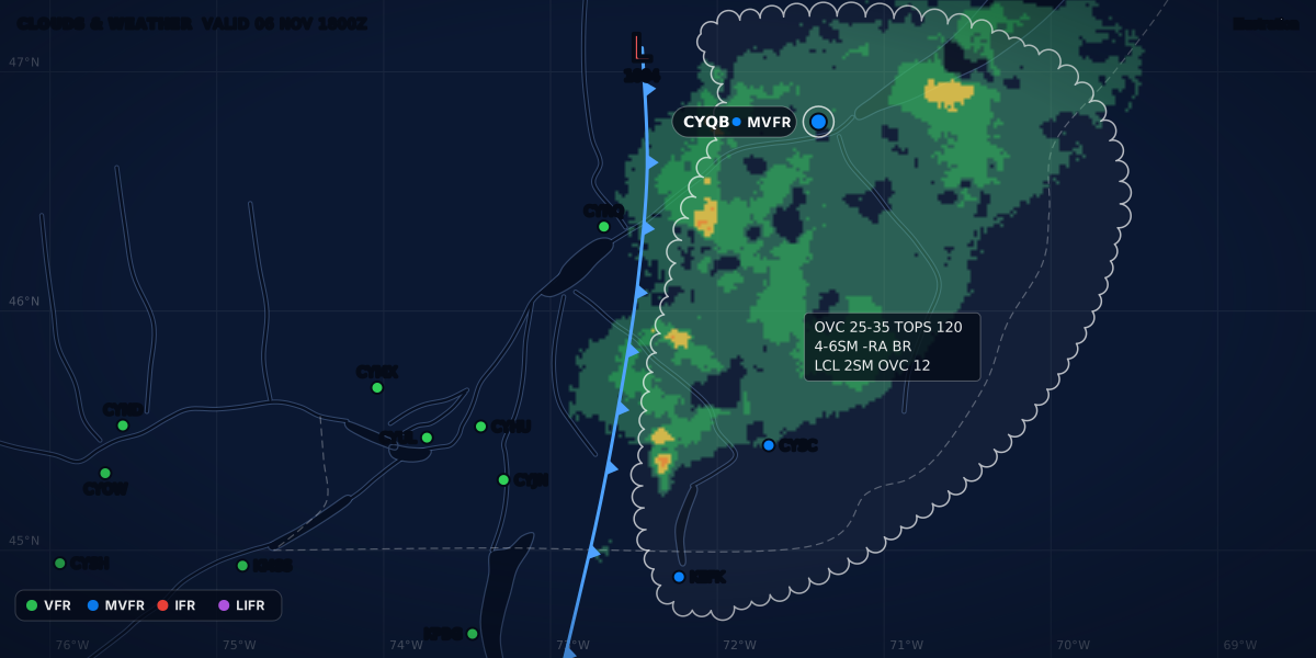
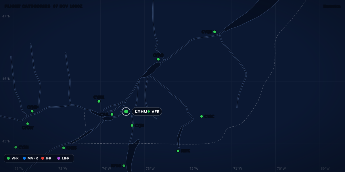
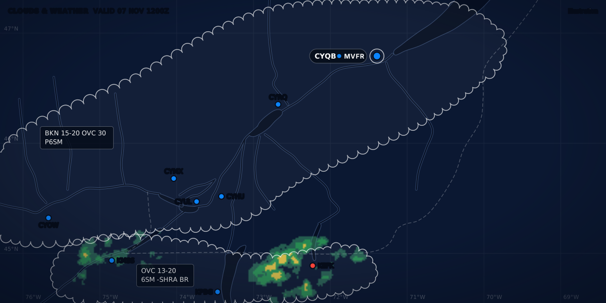
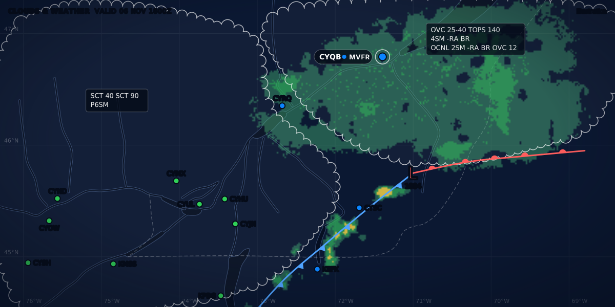
CLOUDS & WEATHER VALID 07 NOV 0000Z
Illustration
How to read winds aloft: the FB forecast, decoded
Decode a winds aloft forecast: DDff+TT, 9900, winds over 100 knots, missing temperatures, altitude references, Canada's FB, and the end of the US text tables.
 Jp Valery
11 min read
A winds aloft forecast gives the wind and the temperature at fixed levels above a list of sites. In Canada it is a short text bulletin, the FB. The United States used the same format until November 2026. Each group packs three numbers into a few characters: the direction, the speed and the temperature. This guide decodes them, and it is part of the series on how to read aviation weather.
Here is a real one: the FBCN33 of November 6, 2026, from the Canadian Centre for Meteorological and Environmental Prediction (CCMEP). It comes from Environment and Climate Change Canada’s MSC Datamart, read on the evening of November 6, 2026 (Montréal time). These are two of its lines, Montréal (YUL) and Québec (YQB):
| Level | Group | Wind (true) | Temperature |
|---|---|---|---|
| 3,000 ft | 0712 | 070° at 12 kt | Not forecast at this level |
| 6,000 ft | 2607+03 | 260° at 7 kt | +3 °C |
| 9,000 ft | 2310-03 | 230° at 10 kt | −3 °C |
| 12,000 ft | 2311-06 | 230° at 11 kt | −6 °C |
| 18,000 ft | 2628-16 | 260° at 28 kt | −16 °C |
| Level | Group | Wind (true) | Temperature |
|---|---|---|---|
| 3,000 ft | 0807 | 080° at 7 kt | Not forecast at this level |
| 6,000 ft | 9900+02 | Light and variable (under 5 kt) | +2 °C |
| 9,000 ft | 2506-03 | 250° at 6 kt | −3 °C |
| 12,000 ft | 2518-06 | 250° at 18 kt | −6 °C |
| 18,000 ft | 2423-16 | 240° at 23 kt | −16 °C |
Read the header first
| Line | What it says |
|---|---|
FBCN33 CWAO 061530 |
An FB bulletin from the CCMEP (CWAO), with the header time 15:30Z on the 6th |
DATA BASED ON 061200Z |
The data that the forecast is based on: the 6th at 12:00Z |
VALID 070000Z |
The time that the forecast is for: the 7th at 00:00Z (19:00 EST on the 6th) |
FOR USE 2100-0600Z. |
The period of use: from 21:00Z to 06:00Z |
3000 6000 9000 12000 18000 |
The levels, in feet above sea level |
The FB is an objective forecast: it comes from a numerical weather prediction model (TC AIM MET 1.3.7). Take the bulletin whose period of use covers your flight.
Decode a group: DDff+TT
The symbolic form is DDff+TT (NWSI 10-812 §6):
DDis the wind direction, in tens of degrees true.ffis the wind speed, in knots.+TTor-TTis the temperature, in degrees Celsius.
Take YUL at 6,000 ft: 2607+03. 26 is 260° true, 07 is 7 knots, and +03 is +3 °C. Transport Canada uses the same code: wind in knots to the nearest 10° true, temperature in °C (TC AIM MET 9.2).
9900: light and variable
9900 means light and variable: a forecast speed of less than 5 knots (NWSI 10-812 §6, TC AIM MET 9.2). Some systems display it as “calm” (TC AIM MET 9.2). A temperature still follows when the level has one. At YQB, 9900+02 at 6,000 ft is light and variable, +2 °C.
Winds of 100 knots or more
Two digits cannot hold 100 knots. For speeds from 100 to 199 knots, the code adds 50 to the direction and takes 100 from the speed (NWSI 10-812 §6). So a direction code from 51 to 86 tells you that the speed is 100 knots or more: no direction of 510° to 860° exists (TC AIM MET 9.2).
Decode 791159, an example from TC AIM MET Table 9.3:
79is more than 50. Take 50 away: 29, so the direction is 290° true.11gets 100 added: 111 knots.59has no sign. The group is above 24,000 ft, so the temperature is −59 °C.
The NWS example 7545 is 250° at 145 knots (NWSI 10-812 §6). A wind of 200 knots or more is coded as 199 knots: 7799 is 270° at 199 knots or more (TC AIM MET 9.2).
The temperature sign
From 6,000 to 24,000 ft, the temperature has its sign. Above 24,000 ft, the sign is left out because every temperature there is negative (NWSI 10-812 §6, TC AIM MET 9.2). US bulletins also say it in the header: TEMPS NEG ABV 24000.
Blank groups: no wind or no temperature
Some levels have no group, or a group with no temperature:
- Canada. Temperatures are never forecast for the 3,000-ft level. The 3,000-ft level is left out when the terrain is higher than 1,500 ft. It is also left out at some lower sites, where the model’s terrain is near or above 3,000 ft (TC AIM MET 1.3.7).
- United States. No wind is forecast within 1,500 ft of the site’s elevation, and no temperature within 2,500 ft (NWSI 10-812 §4).
The example bulletin in NWSI 10-812 §6.1 shows both rules. It is the directive’s example of the format, not a current forecast:
| Level | Group | Wind (true) | Temperature |
|---|---|---|---|
| 3,000 ft | 0207 | 020° at 7 kt | Not forecast at this level |
| 6,000 ft | 0611+13 | 060° at 11 kt | +13 °C |
| 9,000 ft | 0805+07 | 080° at 5 kt | +7 °C |
| 12,000 ft | 9900+02 | Light and variable (under 5 kt) | +2 °C |
| 18,000 ft | 2524-14 | 250° at 24 kt | −14 °C |
| 24,000 ft | 2535-27 | 250° at 35 kt | −27 °C |
| 30,000 ft | 248139 | 240° at 81 kt | −39 °C |
| 34,000 ft | 259647 | 250° at 96 kt | −47 °C |
| 39,000 ft | 269455 | 260° at 94 kt | −55 °C |
| Level | Group | Wind (true) | Temperature |
|---|---|---|---|
| 3,000 ft | No group | Not forecast: the level is below or close to the station's elevation | |
| 6,000 ft | No group | Not forecast: the level is below or close to the station's elevation | |
| 9,000 ft | 0507+05 | 050° at 7 kt | +5 °C |
| 12,000 ft | 9900+00 | Light and variable (under 5 kt) | 0 °C |
| 18,000 ft | 2516-16 | 250° at 16 kt | −16 °C |
| 24,000 ft | 2531-29 | 250° at 31 kt | −29 °C |
| 30,000 ft | 246942 | 240° at 69 kt | −42 °C |
| 34,000 ft | 257347 | 250° at 73 kt | −47 °C |
| 39,000 ft | 267353 | 260° at 73 kt | −53 °C |
Phoenix (PHX) is at 1,132 ft and Prescott (PRC) at 5,042 ft (NWSI 10-812 Appendix A). At PHX, 3,000 ft is 1,868 ft above the site: far enough for a wind, too close for a temperature. At PRC, 6,000 ft is only 958 ft above the site, so the 3,000-ft and 6,000-ft groups are blank.
Levels and altitude references
| Forecast | Levels | Height | Status |
|---|---|---|---|
| Canada: FBCN31, FBCN33, FBCN35 CWAO (CCMEP) | 3,000, 6,000, 9,000, 12,000 and 18,000 ft | Above sea level (TC AIM MET 1.3.7) | Issued |
| Canada: FBCN31, FBCN33, FBCN35 KWNO (NWS) | 24,000, 30,000, 34,000, 39,000, 45,000 and 53,000 ft | Not stated in TC AIM MET 1.3.7 | Ended on November 3, 2026 |
| US FB | 3,000, 6,000, 9,000 and 12,000 ft | Actual altitude above mean sea level (NWSI 10-812 §4) | Ended on November 3, 2026 |
| US FB | 18,000 ft (500 hPa), 24,000 (400 hPa), 30,000 (300 hPa), 34,000 (250 hPa) and 39,000 ft (200 hPa); 45,000 (150 hPa) and 53,000 ft (100 hPa) at selected sites | Pressure altitude (NWSI 10-812 §4) | Ended on November 3, 2026 |
| France: WINTEM charts | FL020, FL050 and FL100 (France chart); FL050 to FL480 (EUROC chart) | Flight levels | Issued |
Hawaii and the Pacific sites add 1,000, 1,500, 2,000 and 15,000 ft (NWSI 10-812 §4). Two traps:
- Above sea level, not above the ground. Heights in a METAR or a TAF are always above ground level (TC AIM MET 1.2.2). FB levels are above sea level. Over a field 1,000 ft above sea level, the 3,000-ft wind blows 2,000 ft above the runway.
- Pressure altitude from 18,000 ft. In the US format, the levels from 18,000 ft are pressure altitudes, each tied to a pressure level. WINTEM charts give flight levels. The altimeter setting guide explains the standard setting behind them.
Canada: the FB replaces the FD
Transport Canada says it plainly: “The FB wind and temperature forecasts are a replacement of the FD forecasts.” The FD stays available for a transitional period. The differences, in TC AIM MET 1.3.7: four issues a day for the FB instead of two for the FD, new periods of use, and a new header format.
The header shows the change. On November 6, 2026, the MSC Datamart carried both products from the same issue: data based on 061200Z, header time 061530. The YUL line was the same in both. The headers differ:
FBCN33 CWAO 061530
DATA BASED ON 061200Z
VALID 070000Z FOR USE 2100-0600Z.

FDCN02 CWAO 061530
FCST BASED ON 061200 DATA VALID 070000 FOR USE 21-06

YUL 0712 2607+03 2310-03 2311-06 2628-16
Each FB issue covers three periods of use (TC AIM MET Table 3.1):
| Issued (CWAO) | Periods of use |
|---|---|
| 0330Z | 0200–0900Z, 0900–1800Z, 1800–0600Z |
| 0920Z and 0930Z | 0800–1500Z, 1500–0000Z, 0000–1200Z |
| 1520Z and 1530Z | 1400–2100Z, 2100–0600Z, 0600–1800Z |
| 2120Z and 2130Z | 2000–0300Z, 0300–1200Z, 1200–0000Z |
The example at the top of this page is the second period of the 1530Z issue.
The higher levels came from the US. The NWS issued the 24,000 to 53,000-ft levels for the same Canadian sites, under the headers FBCN31, FBCN33 and FBCN35 KWNO (TC AIM MET 1.3.7). SCN 26-47 lists those headers among the products that ended on November 3, 2026. It also lists the KWBC headers FDCN01 to FDCN03 and FDCN40 to FDCN42. The CWAO bulletins are not in that list: on November 6, 2026, the Datamart still carried FBCN31, FBCN33 and FBCN35 CWAO, and FDCN01, FDCN02 and FDCN03 CWAO.
You read the FB on NAV CANADA’s CFPS. On the evening of November 6, 2026 (Montréal time), after the US change, CFPS still served the FBCN31, FBCN33 and FBCN35 CWAO forecasts for YUL. CFPS may display the FB differently from the raw code, and the flight information centre can help you read it (TC AIM MET 9.2). The CFPS guide shows where it sits.
United States: the text tables ended in November 2026
On November 3, 2026 at 1200 UTC, NCEP discontinued the NAM model, and with it most of the NWS text FB bulletins. SCN 26-47 lists FB(US|AK|HW)3[135789] KWNO among the discontinued headers. By the bulletin list in NWSI 10-812 §5, those are the contiguous US, Alaska and Hawaii, at every level and for every forecast period. The aviationweather.gov winds/temps page now says: “CONUS, Alaska, and Hawaii wind/temp tables have been discontinued with the retirement of the NAM model.”
The Aviation Weather Center recommends the GFA wind and temperature forecast instead. It shows model winds and temperatures as a color-coded graphic, in 3,000-ft steps from the surface to FL300 and 6,000-ft steps up to FL480, with finer steps up to 5,000 ft AGL (AWC GFA help). The GFA guide covers the tool.
The Pacific bulletins (FBOC) are not in the SCN 26-47 list. NWSI 10-812, the directive that defines the format, was still the edition dated September 27, 2022 when this guide was checked. Its 2025 administrative update changed no content.
France: WINTEM charts
For a low-level flight, Météo-France names two kinds of documentation: charts (TEMSI for significant weather, WINTEM for wind and temperature) and messages (METAR, SPECI, TAF, SIGMET) (Guide aviation 2024, p. 2). The winds aloft are on the WINTEM chart.
- Levels. The WINTEM France chart: FL020, FL050 and FL100. The EUROC chart: FL050, FL080, FL100, FL180, FL210, FL300, FL340, FL390 and FL480 (p. 13).
- Issues. WINTEM France every 3 hours from 00 UTC; WINTEM EUROC every 6 hours from 00 UTC (p. 13).
- Wind. In knots, as barbs. The shaft shows the direction the wind comes from. A half barb is 5 knots, a full barb 10 knots, and a pennant 50 knots (p. 13).
- Temperature. In °C, with a
+in front of positive values (p. 13). - Box. The chart’s box gives the flight level and its pressure in hPa, the date and time of the model run, the issuing centre and the period of validity (p. 13).
Météo-France puts the stakes in one line: among the most frequent weather-related incidents is an adverse wind, and with it running out of fuel or arriving at nightfall (p. 2).
Interpolate between levels
Your cruising level is rarely an FB level. NWSI 10-812 §4: “Forecasts for intermediate levels may be determined by interpolation.” Take the levels above and below, and move between them in proportion to the height.
YUL, from the bulletin at the top of this page (computed):
| Level | Wind | Temperature |
|---|---|---|
| 6,000 ft (forecast) | 260° true, 7 kt | +3 °C |
| 7,500 ft (halfway) | about 245° true, 8 to 9 kt | 0 °C |
| 9,000 ft (forecast) | 230° true, 10 kt | −3 °C |
| 10,500 ft (halfway) | 230° true, 10 to 11 kt | −4.5 °C |
| 12,000 ft (forecast) | 230° true, 11 kt | −6 °C |
The temperature column gives a useful number too: the forecast 0 °C level is near 7,500 ft.
Interpolation needs care when the wind turns. At YUL, 3,000 ft is 070° at 12 knots, and 6,000 ft is 260° at 7 knots: almost opposite. A straight average of the directions and the speeds gives 165° at about 10 knots, a wind that neither level forecasts. An average of the two wind vectors gives about 3 knots. The forecast tells you only that the wind turns somewhere in that layer. The real CYUL METAR at the FB’s valid time, 070000Z, reported 06013G18KT at the surface (Iowa Environmental Mesonet archive; the same report on aviationweather.gov, read on the evening of November 6, 2026). That is close to the 3,000-ft forecast, and almost opposite to the 6,000-ft one.
From winds aloft to ground speed
FB winds are true. Before you compare one with a runway or a magnetic heading, read true or magnetic. Then split the wind along your true course: the headwind part sets your ground speed. Headwinds and cruise altitude works through a CYHU to CYQB trip level by level, from a real FB.
ClearMETAR shows the surface wind from the METAR, in degrees true and magnetic when it knows the variation, and the headwind and crosswind on the best runway end. It does not show winds aloft: read the FB on CFPS, or the GFA winds in the US.
Transport Canada lists the upper wind and temperature forecasts in the flight weather documentation to review, with the GFAs, AIRMETs, SIGMETs, TAFs, METARs, SPECIs and PIREPs (TC AIM MET 1.2.2). The preflight weather briefing puts them in order.
Sources
- TC AIM (TP 14371) 2026-2, MET 1.2.2, 1.3.7 (FB and FD), 3.1 (Table 3.1: FB issue times and periods of use) and 9.2 (Tables 9.1 to 9.3: the FB code), Transport Canada
- NWS Instruction 10-812, Aviation Wind and Temperature Aloft Forecasts (September 27, 2022), sections 3 to 6 and Appendix A, National Weather Service
- Service Change Notice 26-47, updated November 5, 2026: termination of the NAM and its FB and FD headers (November 3, 2026), National Weather Service
- Winds/Temps Data (notice: CONUS, Alaska and Hawaii tables discontinued), NOAA Aviation Weather Center
- GFA help: wind and temperature forecasts, NOAA Aviation Weather Center
- Guide aviation 2024, p. 2 (documentation for a low-level flight) and p. 13 (WINTEM charts), Météo-France
- MSC Datamart, alphanumeric bulletins FB and FD from CWAO, November 6, 2026 (FBCN33 CWAO 061530, FDCN02 CWAO 061530), Environment and Climate Change Canada
- ASOS/METAR archive: CYUL report of November 7, 2026, 00:00 UTC, Iowa Environmental Mesonet
Rules checked on
Common questions
What does 9900 mean in winds aloft?
9900 means light and variable: a forecast wind of less than 5 knots (NWSI 10-812 §6, TC AIM MET 9.2). A temperature can still follow it, as in 9900+02.
How are winds over 100 knots coded?
For 100 to 199 knots, 50 is added to the direction code and 100 is taken from the speed, so 7545 is 250° true at 145 knots (NWSI 10-812 §6). A wind of 200 knots or more is coded as 199 knots (TC AIM MET 9.2).
Why is there no temperature at 3,000 ft?
In Canada, temperatures are never forecast for the 3,000-ft level (TC AIM MET 1.3.7). In the US format, no temperature is forecast within 2,500 ft of the site's elevation, and no wind within 1,500 ft (NWSI 10-812 §4).
Can I still get text winds aloft in the US?
Not for the contiguous US, Alaska or Hawaii: the NWS ended those FB bulletins on November 3, 2026 at 1200 UTC with the NAM model (SCN 26-47). aviationweather.gov recommends the GFA wind and temperature forecast instead.
Let the app do the decoding.
ClearMETAR turns every METAR and TAF into one plain sentence. Free on iPhone.