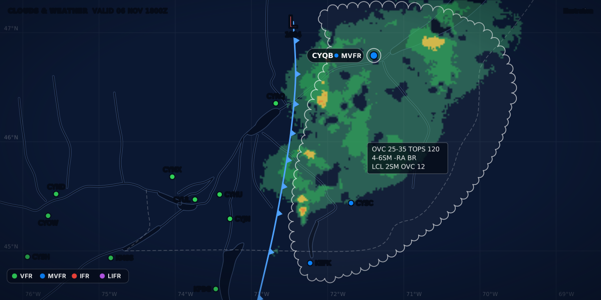
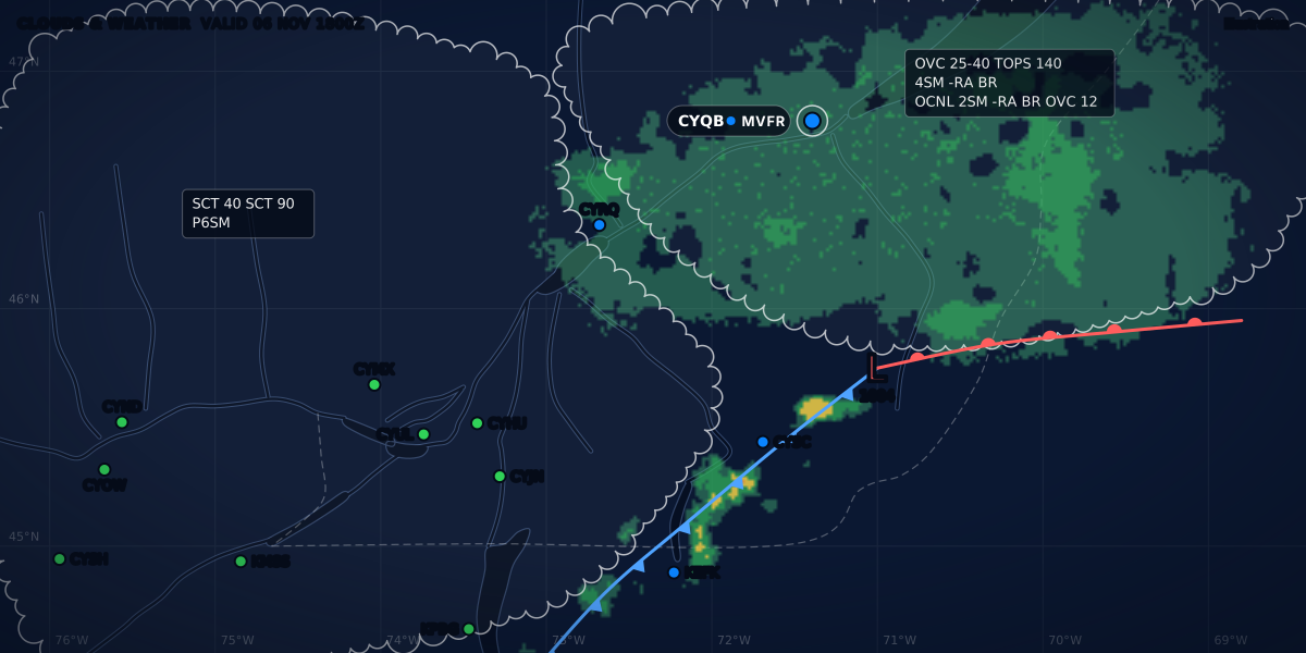
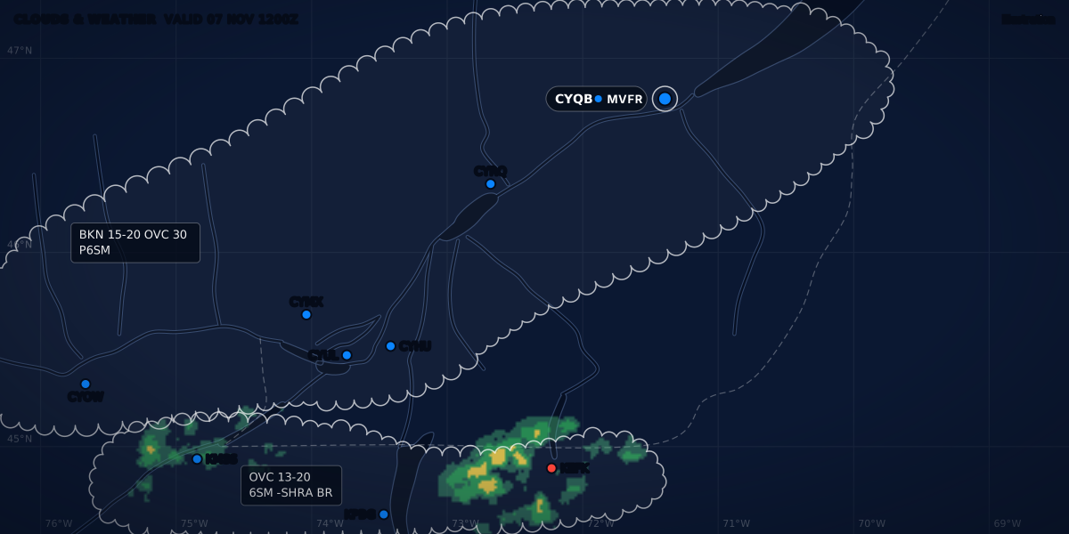
CLOUDS & WEATHER AN EXAMPLE EVENING
Illustration
PIREP: how to read, decode and file a pilot report
Decode any PIREP field by field with US and Canadian examples, learn UA vs UUA, the turbulence and icing terms, and how to file a report in each country.
 Jp Valery
16 min read
Here is a real pilot report (PIREP), from over Saranac Lake, New York, on the evening of November 5, 2026:
SLK UA /OV SLK/TM 0100/FL110/TP PC12/SK BASE 105/TA M01/TB MOD CHOP/IC LGT MIXEDIn plain words: over SLK at 01:00 UTC (20:00 EST), at 11,000 ft above sea level, the crew of a PC12 found the cloud base at 10,500 ft, an air temperature of −1 °C, moderate chop and light mixed icing.
Real report, from the Aviation Weather Center (AWC) Data API, observed on November 6, 2026 at 01:00 UTC.
A METAR gives the weather at one airport. A PIREP gives what a pilot met in the air: cloud bases and tops, icing, turbulence, wind shear. In the map of aviation weather products, it is the observation made from the cockpit. This guide reads each field in the Canadian and US formats, explains UA and UUA, gives the turbulence and icing words, and shows how to file your own report.
What a PIREP is, and why one report matters
Transport Canada defines a PIREP as “a report pertaining to current weather conditions encountered by aircraft in flight” (TC AIM MET 2.1). The AWC puts the accent on hazards: “A PIREP is reported by a pilot to indicate encounters of hazardous weather such as icing or turbulence.”
One report can do a lot:
- It fills the gaps. A PIREP “may also be the only information available regarding areas between reporting stations”, in particular where hills or expanses of water make local weather (MET 2.1). I fly from CSE4 and CSB3, two fields with no weather report of their own. Between stations, a PIREP can be all there is.
- It checks the forecast. A PIREP “either confirms an existing forecast or highlights the requirement for an amendment” (MET 2.1). A PIREP that shows a significant change can lead to an amended TAF (MET 7.5).
- It can start a warning. “PIREPs of hazardous conditions may trigger the issuance of significant meteorological information (SIGMET)” (MET 2.1). In one TC AIM example, a PIREP of moderate turbulence led to an AIRMET (MET 5.16). The AIRMET and SIGMET guide explains both warnings.
- Some hazards have no other sensor. Canadian aerodromes have no ground-based instruments that measure wind shear, so it “can normally be deduced only from pilot weather reports” (MET 2.3). For clear air turbulence (CAT), the best information “is still obtained from PIREPs” (MET 2.2.1).
The FAA says the same for the US. In a 2019 notice, it wrote that its Air Traffic Organization identified PIREP solicitation and dissemination “as one of the Top 5 hazards in the National Airspace System (NAS)”. The notice adds: “For certain weather conditions, PIREPs are the only means of confirmation that forecasted conditions are occurring” (84 FR 66963, December 6, 2019).
Read each report for what it is: one aircraft, at one place and one time. The turbulence intensity describes how that aircraft reacted (TC AIM MET 2.2.2). So read it with the aircraft type. In the US, icing and turbulence reports “must always include the aircraft type” (AWC data help).
You will also see AIREPs next to PIREPs. “An AIREP is a routine, often automated report of in-flight weather conditions such as wind and temperature” (AWC data help).
The format, field by field
A PIREP is a string of fields. Each field starts with a slash and a two-letter code. The AWC data help lists 11 fields. The TC AIM example uses 10 of them; only /WX is missing.
| Field | What it holds | Canada (TC AIM MET 2.1.1, Table 2.1) | United States (AWC data help) |
|---|---|---|---|
| Header | Who sent it, and when | UACN10 CYXU 032133 YZ: the bulletin header, the issuing office (London FIC), the day and time of issue (3rd, 21:33Z) and the FIR (Toronto). A report that extends into the next FIR names both FIRs |
Reports on aviationweather.gov start with an identifier and the type: SLK UA. The AWC help does not describe this part |
| Type | Routine or urgent | UA. Urgent: UACN01 or UUA |
UA or UUA (AWC PIREP help) |
/OV |
Location | A NAVAID, an airport or latitude and longitude: YXU 090010 is the London VOR 090° radial, 10 NM |
A VHF NAVAID or an airport, which can be followed by three digits for a radial and three digits for a distance in NM; a route segment of two or more fixes; or latitude and longitude |
/TM |
Time | UTC: 2120 |
The time the phenomenon “occurred or was encountered”, in four digits, UTC |
/FL |
Altitude | Hundreds of feet ASL: 080 is 8,000 ft. Or DURD (during descent), DURC (during climb), UNKN (unknown) |
Hundreds of feet MSL where the phenomenon was first met, or UNKN. DURC or DURD go in the remarks |
/TP |
Aircraft type | PA31 (Piper Navajo) |
ICAO type code, or UNKN |
/SK |
Sky cover | Base, amount and top, in hundreds of feet ASL: 020BKN040 110OVC |
Base in hundreds of feet MSL, three digits; top after the word TOP; ranges such as BKN-OVC; IMC for in cloud; layers separated by / |
/WX |
Flight visibility and weather | Not in the TC AIM example | Flight visibility first, FV03SM (FV99SM if unrestricted), then the weather in the standard surface weather codes (for example -RA, light rain) |
/TA |
Air temperature | °C, with a minus sign: -12 |
°C, two digits, M for minus: M08 |
/WV |
Wind | Degrees true and knots: 030045. A wind that the pilot gives in degrees magnetic is converted to true |
Three-figure direction, then the speed, ending in KT |
/TB |
Turbulence | Intensity, then where: MOD BLO 040 |
Duration (INTMT, OCNL, CONS) and intensity (LGT, MOD, SEV, EXTRM), optionally CAT or CHOP; NEG for none. A height only if it differs from /FL |
/IC |
Icing | Intensity, type, heights: LGT RIME 020-040 |
TRACE, LGT, MOD, SEV, or NEG for none; optionally RIME, CLR or MX. A height only if it differs from /FL |
/RM |
Remarks | More information for any of the fields: NIL TURB CYYZ-CYHM |
“Report hazardous weather first.” |
Two details to watch:
- The wind. In a Canadian PIREP the wind is in degrees true. To use it against a runway or a magnetic heading, convert true to magnetic. The AWC help does not say whether a US PIREP wind is true or magnetic.
- Minus signs. Canada writes
-12; the US writesM12. Both mean −12 °C.
UA or UUA: routine and urgent
UA is a routine PIREP. UUA is an urgent one.
Canada. Routine PIREPs go out under the header UACN10, urgent ones under UACN01 or UUA (TC AIM MET 1.1.6.1). “Urgent PIREPs are issued for atmospheric conditions that are an immediate hazard for all aviation users” (MET 2.1). TC AIM asks for speed in two cases:
- a volcanic eruption or an ash cloud: file an urgent PIREP with the nearest air traffic service (ATS) unit (MET 2.5);
- clear air turbulence: report the time, location, flight level and intensity “urgently” to the facility you are in radio contact with (MET 2.2.1).
Hazard reports travel fast. PIREPs less than one hour old about conditions that are a hazard to aviation “are broadcast immediately to aircraft in the affected area” (MET 1.1.6.1).
United States. The AWC’s online form starts with the type: “Either UA or UUA (Urgent PIREP)”. The help adds: “Some entries on the form will require urgent selection” (AWC PIREP help). Here is a real urgent PIREP from Burlington, Vermont:
BTV UUA /OV KBTV330001/TM 2005/FL010/TP CRJ9/RM LLWS +/-5-10KT SFC-010 DURD RY15 BTVReal report, AWC Data API, observed on November 5, 2026 at 20:05 UTC (15:05 EST).
| Group | Meaning |
|---|---|
BTV UUA |
Urgent PIREP. The AWC data labels it “Urgent PIREP” |
/OV KBTV330001 |
1 NM from Burlington airport (KBTV), on the 330° radial |
/TM 2005 |
20:05 UTC |
/FL010 |
1,000 ft MSL |
/TP CRJ9 |
Aircraft type code |
/RM LLWS +/-5-10KT |
Low-level wind shear: airspeed gains and losses of 5 to 10 kt |
SFC-010 |
From the surface to 1,000 ft |
DURD RY15 BTV |
During the descent to runway 15 at BTV |
It is the shape TC AIM asks for when you have no flight management system: “the loss or gain of airspeed and the altitude at which it was encountered” (MET 2.3).
Heights: PIREPs use sea level, METARs the ground
TC AIM MET 1.2.2 says it plainly: “Heights in METARs and TAFs are always stated as height above ground level. On the other hand, heights in GFAs and PIREPs are normally stated as height above sea level, since terrain heights are variable over the larger area covered.” In the US, the AWC help gives /FL and /SK heights “in hundreds of feet (MSL)”.
So BKN020 in a METAR and 020BKN in a PIREP are not the same height. A METAR cloud group is above the airport (how to read a METAR covers the cloud groups). To compare, take the airport elevation away from the PIREP height:
| Height | Measured from | |
|---|---|---|
| Cloud base in a PIREP | 3,500 ft | Sea level |
| Airport elevation | 1,000 ft | Sea level |
| The same base in that airport’s METAR | 2,500 ft, coded 025 |
The airport |
An illustration with round numbers, not a real airport: 3,500 − 1,000 = 2,500 ft.
A real report, from a crew on the descent near Rutland, Vermont:
RUT UA /OV RUT010005/TM 1919/FL029/TP P212/SK BASE 031 TOP 058/TB CONS LGT CAT/RM DURD ILS19Real report, AWC Data API, observed on November 5, 2026 at 19:19 UTC (14:19 EST).
The base is at 3,100 ft and the top at 5,800 ft, both above sea level: a layer 2,700 ft thick. The crew gave its own altitude as 2,900 ft MSL, 200 ft below that base. The same report shows a trap in the words: CONS LGT CAT is continuous light clear air turbulence at 2,900 ft. TC AIM keeps the CAT label for high-level turbulence, “normally above 15 000 ft ASL”, away from cumuliform cloud (MET 2.2.2). The US help lists CAT as an optional type and gives it no height. Read the height, not just the word.
Turbulence and icing words, with what you feel
Turbulence is graded by what the aircraft does and by what the people inside feel. This is the full TC AIM table (MET 2.2.2, Table 2.2):
| Intensity | What the aircraft does | What you feel inside |
|---|---|---|
| Light | “Turbulence that momentarily causes slight, erratic changes in altitude and/or attitude (pitch, roll, yaw)”: report “light turbulence”. Or “slight, rapid and somewhat rhythmic bumpiness without appreciable changes in altitude or attitude”: report “light chop” | “Occupants may feel a slight strain against seat belts or shoulder straps. Unsecured objects may be displaced slightly. Food service may be conducted and little or no difficulty is encountered in walking.” |
| Moderate | Like light turbulence, “but of greater intensity. Changes in altitude and/or attitude occur but the aircraft remains in positive control at all times. It usually causes variations in indicated airspeed”: report “moderate turbulence”. Or like light chop, with “rapid bumps or jolts without appreciable changes in aircraft altitude or attitude”: report “moderate chop” | “Occupants feel definite strains against seat belts or shoulder straps. Unsecured objects are dislodged. Food service and walking are difficult.” |
| Severe | “Turbulence that causes large, abrupt changes in altitude and/or attitude. It usually causes large variations in indicated airspeed. Aircraft may be momentarily out of control”: report “severe turbulence” | “Occupants are forced violently against seat belts or shoulder straps. Unsecured objects are tossed about. Food service and walking impossible.” |
So turbulence moves the aircraft in altitude or attitude, and chop is fast bumps without an appreciable change. The table stops at severe. TC AIM also lists “extreme” among the intensities to report for CAT (MET 2.2.1), and the US code has EXTRM (AWC data help). If you plan to fly with passengers, the guide to turbulence in a small plane turns the cabin column into a plan.
How often. Turbulence is “occasional” when it occurs less than 1/3 of the time, “intermittent” from 1/3 to 2/3 of the time, and “continuous” more than 2/3 of the time (MET 2.2.2). The US codes are OCNL, INTMT and CONS. On a 30-minute leg, one third is 10 minutes and two thirds is 20 minutes (computed): less than 10 minutes of bumps is occasional, 10 to 20 minutes is intermittent, and more than 20 minutes is continuous.
Clear air turbulence. “High-level turbulence (normally above 15 000 ft ASL) not associated with cumuliform clouds, including thunderstorms, should be reported as CAT preceded by the appropriate intensity or chop type” (MET 2.2.2).
Icing. TC AIM grades icing by how fast the ice builds (MET 2.4, Table 2.3):
| Intensity | TC AIM description | US code |
|---|---|---|
| Trace | “Ice becomes perceptible.” Not hazardous, even without de-icing or anti-icing equipment, “unless encountered for an extended period of time (over 1 hr)” | TRACE |
| Light | “The rate of accumulation may create a problem if flight is prolonged in this environment (over 1 hr).” | LGT |
| Moderate | The rate of accumulation is such that “even short encounters become potentially hazardous, and use of de-icing or anti-icing equipment or diversion is necessary.” | MOD |
| Severe | De-icing or anti-icing equipment “fails to reduce or control the hazard. Immediate diversion is necessary.” | SEV |
And by its type (MET 2.4, Table 2.4):
| Type | TC AIM description | US code |
|---|---|---|
| Rime | “Rough, milky, opaque ice formed by the instantaneous freezing of small supercooled water droplets.” | RIME |
| Clear | “Glossy, clear, or translucent ice formed by the relatively slow freezing of large supercooled water droplets.” | CLR |
| Mixed | “Both rime and clear icing occurring at the same time.” | MX |
Real reports do not always use the short code: the Saranac Lake report at the top of this page says MIXED.
Two decoded examples
Canada: the TC AIM example
This is the example in TC AIM MET 2.1.1, Table 2.1. It is a teaching example from the manual, not a live report.
UACN10 CYXU 032133 YZ UA /OV YXU 090010 /TM 2120 /FL080 /TP PA31 /SK 020BKN040 110OVC /TA -12 /WV 030045 /TB MOD BLO 040 /IC LGT RIME 020-040 /RM NIL TURB CYYZ-CYHM| Group | Meaning (TC AIM Table 2.1) |
|---|---|
UACN10 |
Regular PIREP |
CYXU |
Issuing office: London FIC |
032133 |
Issued on the 3rd day of the month at 21:33Z |
YZ |
FIR: Toronto |
UA /OV YXU 090010 |
London VOR 090° radial, 10 NM |
/TM 2120 |
Time of the PIREP: 21:20Z |
/FL080 |
8,000 ft ASL |
/TP PA31 |
Piper Navajo |
/SK 020BKN040 110OVC |
First layer based at 2,000 ft with tops at 4,000 ft ASL. Second layer based at 11,000 ft ASL |
/TA -12 |
−12 °C |
/WV 030045 |
030° true, 45 kt |
/TB MOD BLO 040 |
Moderate turbulence below 4,000 ft ASL |
/IC LGT RIME 020-040 |
Light rime icing (in cloud) between 2,000 and 4,000 ft ASL |
/RM NIL TURB CYYZ-CYHM |
No turbulence between Toronto and Hamilton |
What it tells you (computed from the report):
- The report went out at 21:33Z, 13 minutes after the observation at 21:20Z.
- At 8,000 ft, the Navajo was 4,000 ft above the tops of the broken layer and 3,000 ft below the overcast base.
- The icing band, 2,000 to 4,000 ft, is the broken layer itself (base 2,000 ft, top 4,000 ft). For the next aircraft that climbs through that layer, this is the warning: light rime ice in cloud, and moderate turbulence below 4,000 ft.
- The remark reports smooth air. A “no turbulence” report is useful too.
United States: the Saranac Lake report
The report at the top of this page, field by field:
SLK UA /OV SLK/TM 0100/FL110/TP PC12/SK BASE 105/TA M01/TB MOD CHOP/IC LGT MIXED| Group | Meaning |
|---|---|
SLK UA |
Identifier and type: a routine PIREP |
/OV SLK |
Over SLK (Saranac Lake, New York) |
/TM 0100 |
01:00 UTC on November 6, 2026 (20:00 EST on November 5) |
/FL110 |
11,000 ft MSL |
/TP PC12 |
ICAO aircraft type code |
/SK BASE 105 |
Cloud base at 10,500 ft MSL. No top is given |
/TA M01 |
−1 °C |
/TB MOD CHOP |
Moderate chop: rapid bumps or jolts, without an appreciable change in altitude or attitude |
/IC LGT MIXED |
Light icing, rime and clear together |
What it tells you: at 11,000 ft the crew was 500 ft above the base it reported, at −1 °C, in moderate chop, and met light mixed icing. TC AIM says light icing “may create a problem if flight is prolonged in this environment (over 1 hr)” (Table 2.3).
Where to read PIREPs
- United States. The AWC PIREP page shows PIREPs and AIREPs around an airport you choose, within a radius you choose, for the last 1 to 36 hours. You can see them decoded, plotted on a map or raw.
- Canada. TC AIM lists PIREPs among the documents to review before a flight (MET 1.2.2). NAV CANADA’s flight information centres (FICs) give briefings, and their specialists are “qualified to … interpret meteorological information” (MET 1.1.3). The guide to NAV CANADA weather and CFPS shows where to get Canadian weather online.
Where PIREPs fit in the order of a briefing is the job of the preflight weather briefing guide. ClearMETAR does not show PIREPs. It covers the airport layer: METARs and TAFs.
How to file a PIREP in Canada and in the US
Canada
- In flight, call a flight information centre (FIC) on an en route frequency (TC AIM MET 2.1).
- After landing, call a FIC toll-free. The numbers are in the Flight Planning entry of each aerodrome in the Canada Flight Supplement (CFS) (MET 2.1).
- Answer when asked. Controllers, flight service specialists and community aerodrome radio station (CARS) observer/communicators may ask you for a report (MET 2.1).
A suggested PIREP format is on the back covers of the CFS and the CWAS (MET 1.1.6.1). Flight service sends your report out “immediately” on meteorological circuits, to other ATS units and to the Canadian Meteorological Aviation Centres (MET 2.1).
What to say:
- Turbulence: “location(s), time (UTC), intensity, whether in or near clouds, altitude, type of aircraft and, when applicable, the duration of turbulence” (MET 2.2.2). TC AIM’s example: “Over REGINA 1232Z, moderate turbulence, in cloud FL310, B737.”
- Icing: your aircraft identification, type, location, time (UTC), the intensity and type of icing, your altitude or flight level, and your indicated airspeed (MET 2.4). If you fly IFR, ask for a new routing or altitude if the icing will be a hazard.
- Wind shear: the loss or gain of airspeed, and the altitude where you met it (MET 2.3).
- Anything that differs from the forecast. TC AIM asks for “conditions that differ significantly from those that were forecast” (MET 2.1), and for cloud tops, upper cloud layers and the wind at your cruising level (MET 1.1.6.1).
Smooth air is worth a report too. The TC AIM example ends with NIL TURB CYYZ-CYHM, and US reports use TB NEG and IC NEG for no turbulence and no icing.
United States
By radio or telephone. An FAA Safety Team notice of January 2020 asked pilots to give PIREPs “via the radio or telephone to the facility with which they are communicating”, for example “Flight Service, ATC, or an Air Route Traffic Control Center (ARTCC)”. When you cannot report in flight, it asked for the report after landing (FAASTeam NOTC9911). The AWC data help also says that PIREPs are “transmitted in real-time via radio to a ground station”. In its 2019 notice, the FAA said that its guidance for collecting PIREPs is in FAA Order 7110.10, Flight Service, and that FAA Form 7110-2 is a guide to help pilots submit PIREPs (84 FR 66963).
Online, on aviationweather.gov (AWC PIREP help):
- Register for an account, “select PIREP Submit Access, and be sure to include your airman’s certificate number or affiliation” (an airline, a flight school, or a government or military organization). Then confirm your email address.
- Wait for approval. “The accounts are validated via the FAA Airmen Inquiry”, and “Accounts are generally approved within one to two business days.”
- Log in, then choose “Submit a PIREP” in the Tools menu.
- Fill in the form. “The first 5 categories are required”: the type (
UAorUUA),/OV,/TM,/FLand/TP./FLtakes three digits in hundreds of feet:095is 9,500 ft. The icing part needs the air temperature. - The site shows the encoded report. If it is correct, submit it. It goes “into the FAA information system”.
The aim is “to allow US-based registered pilots, airline dispatchers and others to enter PIREPs”, and the AWC notes that the service is only available to US-based aviators.
On an IFR flight, it is a rule. Unless ATC authorizes otherwise, the pilot in command of an aircraft under IFR in controlled airspace must report “any unforecast weather conditions encountered” as soon as possible (14 CFR 91.183(b)).
Next: how to read winds aloft, the upper wind and temperature forecast.
Sources
- TC AIM (TP 14371) 2026-2, MET 1.1.3, 1.1.6.1, 1.2.2, 2.0-2.5 (Tables 2.1-2.4), 5.16 and 7.5, Transport Canada
- Data help: PIREP fields (adapted from FAA 7110), NOAA Aviation Weather Center
- PIREP Submission help, NOAA Aviation Weather Center
- PIREP Data: PIREPs and AIREPs by airport, radius and age, NOAA Aviation Weather Center
- Data API, pilot and aircraft reports: PIREPs near KBTV, November 5-6, 2026, NOAA Aviation Weather Center
- Pilot Report (PIREP) Form, FAA Form 7110-2: information collection notice, 84 FR 66963 (December 6, 2019), Federal Register
- 14 CFR 91.183 IFR communications, eCFR
- FAASTeam Notice NOTC9911, Pay it Forward with PIREPs (January 2, 2020), FAA Safety Team
Rules checked on
Common questions
What is the difference between UA and UUA?
UA is a routine PIREP and UUA an urgent one: the AWC's PIREP form asks for one of the two (AWC PIREP help). In Canada, routine PIREPs go out as UACN10 and urgent ones as UACN01 or UUA, for conditions that are an immediate hazard to all aviation users (TC AIM MET 1.1.6.1 and 2.1).
Are PIREP altitudes above sea level?
Yes. US PIREPs give the /FL and /SK heights in hundreds of feet MSL (AWC data help), and Canadian PIREP heights are normally above sea level, while METAR and TAF heights are always above ground (TC AIM MET 1.2.2).
How do I file a PIREP in Canada?
Call a flight information centre (FIC) on an en route frequency, or call a FIC toll-free after landing (TC AIM MET 2.1). The toll-free numbers are in the Flight Planning entry of each aerodrome in the Canada Flight Supplement (CFS).
Let the app do the decoding.
ClearMETAR turns every METAR and TAF into one plain sentence. Free on iPhone.