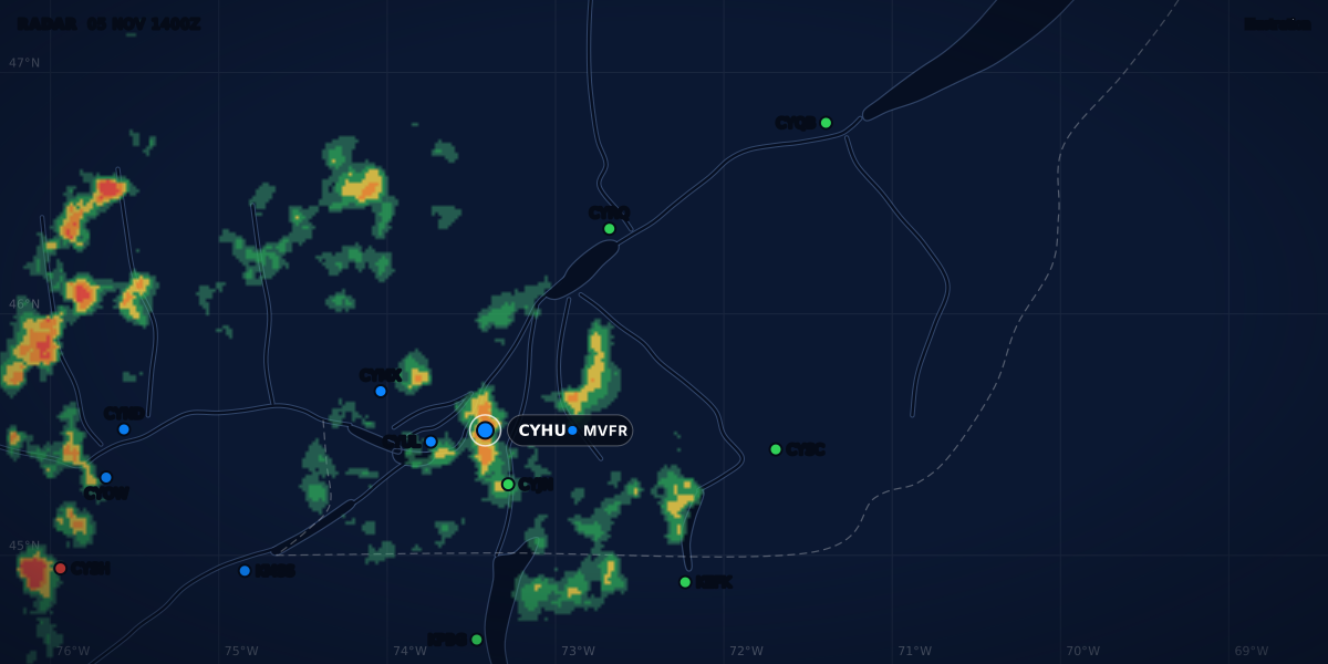
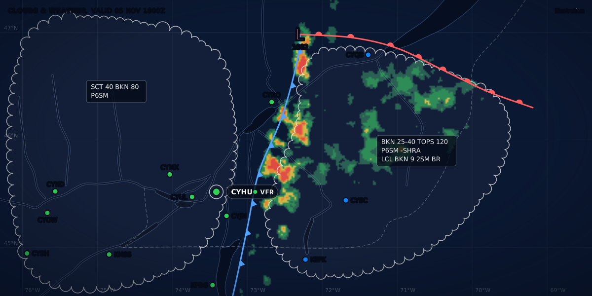
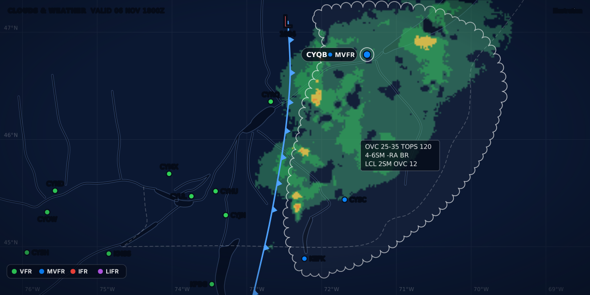
CLOUDS & WEATHER VALID 06 NOV 1200Z
Illustration
How to read a TAF: a full decode, group by group
Decode any TAF group by group: validity, wind, wind shear, visibility, weather and cloud, with a real-format Canadian TAF and the US and French differences.
 Jp Valery
17 min read
A TAF is an aerodrome forecast. The METAR tells you the weather at the aerodrome now. The TAF tells you the most probable weather there for up to 30 hours, and when each change should come (TC AIM MET 7.2 and 7.3). It uses the METAR’s codes, in the same order and with the same meaning. So if you can read a METAR group by group, you already know most of a TAF. The new parts are about time: a validity period, and change groups that cut it into pieces.
Here is a real-format example for Québec / Jean Lesage (CYQB). It is constructed, not a real forecast. The sections below decode it group by group.
The first line says the whole forecast in a sentence. The timeline shows the main forecast as category bars, and the TEMPO and PROB groups on hatched rows. The ClearMETAR app draws a TAF as the same kind of timeline, with TEMPO and PROB groups on hatched rows and a band for night.
The colours are the US flight categories: a summary of the ceiling and the visibility. The category is a summary, the minimums are the law. See what VFR, MVFR, IFR and LIFR mean and the legal VFR weather minimums.
What a TAF covers
Area. A Canadian TAF covers flight operations within 5 NM of the centre of the runway complex, depending on local terrain. It also includes significant weather, such as thunderstorms, 5 to 10 NM away (TC AIM MET 7.2). A US TAF covers the area within 5 statute miles of the centre of the runway complex (NWSI 10-813, section 4). 5 NM is about 5.75 SM, so the two areas are almost the same size.
Time. Canada prepares TAFs for about 200 aerodromes, generally four times a day, with a validity of up to 30 hours (TC AIM MET 1.3.3). A US TAF is ordinarily 24 hours long, and 30 hours at some FAA-specified international airports (NWSI 10-813 4.2). Scheduled US TAFs are typically issued four times a day, every six hours (4.10).
Valid from issue. A Canadian TAF comes out about 20 minutes before its validity period starts, and it is valid from the moment it is issued (TC AIM MET 7.3). It stays valid until it is amended, until the next scheduled TAF comes out, or until its period ends. The US rule is the same: a TAF issued at 1720 UTC is valid at once, even though its period starts at 1800 UTC (NWSI 10-813 4.10). The CYQB example was issued at 11:40Z for a period that starts at 12:00Z, 20 minutes early.
Not every aerodrome has one. A Canadian TAF needs a regular and complete METAR and SPECI program (TC AIM MET 7.2). The two fields I fly from, CSE4 and CSB3, have no weather report, so they have no TAF either. Weather at a field without a METAR covers what to use instead.
TAF vs METAR
| METAR | TAF | |
|---|---|---|
| What it is | An observation: the weather seen from the ground at one time (TC AIM MET 8.1) | A forecast: the most probable weather and its most probable time (MET 7.2) |
| How often | Normally on the hour (MET 8.1), plus a SPECI when the weather changes a lot | Generally four times a day in Canada (MET 1.3.3), every six hours in the US (NWSI 10-813 4.10) |
| Time group | One time: 061400Z |
An issue time and a validity: 061140Z 0612/0712 |
VC (vicinity) |
In Canada, within 5 SM but not at the station (MET 7.3, note) | 5 to 10 NM in Canada (MET 7.3), 5 to 10 SM in the US (NWSI 10-813 4.2) |
| Clear sky | SKC, or CLR from an AWOS (TC AIM MET 8.2) |
SKC only (TC AIM MET 7.3; NWSI 10-813 B2.7.1) |
| Cloud type | Named for CB and TCU (MET 8.2) |
CB only, in Canada and the US (MET 7.3; NWSI 10-813 B2.7.3) |
| Temperature and altimeter | Yes | Not in the Canadian format (MET 7.3); not used in NWS TAFs (NWSI 10-813 App. E2) |
| When the weather changes | A new METAR or a SPECI | Change groups inside the TAF, and TAF AMD |
Use them together: the METAR checks the TAF. When a METAR, a SPECI or a pilot report shows a significant change from the forecast, the forecaster amends the TAF (TC AIM MET 7.5). The TAF is one product among many: the guide to aviation weather products shows where it fits.
The header
TAFis the report type. In Canada,TAF AMDmarks an amended or a corrected forecast (TC AIM MET 7.3). US TAFs writeTAF AMDfor an amendment andTAF CORfor a correction (NWSI 10-813 App. B).CYQBis the ICAO location indicator, as in the METAR.061140Zis the issue time: the 6th of the month at 11:40 UTC, which is 06:40 EST in Québec City.0612/0712is the validity: from the 6th at 12:00 UTC to the 7th at 12:00 UTC, so 24 hours.
A period that ends at midnight UTC ends in 24. The real CYHU TAF issued at 23:40Z on November 6, 2026 reads 0700/0724 (aviationweather.gov data, read that day). NWS TAFs follow the same rule (NWSI 10-813 B2.3).
In Canada, the word ADVISORY after the validity group means an aerodrome advisory, not a full TAF. A qualifier follows it: OFFSITE (the observation is taken more than 1.6 NM from the aerodrome centre), OBS INCOMPLETE, or NO SPECI (TC AIM MET 1.3.4). An advisory uses the TAF format, so you read it the same way.
Wind and wind shear
05008KT is a wind from 050° true at 8 knots. The direction is to the nearest 10° true (TC AIM MET 7.3; NWSI 10-813 B2.4).
- Gusts. Canada adds
Gand the gust when the gust is forecast to exceed the mean by 10 kt or more (TC AIM MET 7.3).06012G22KTsits right on that limit: a 22 kt gust over a 12 kt mean. - Variable. In Canada,
VRBis normally for 3 kt or less, or when no single direction can be forecast, for example as a thunderstorm passes (TC AIM MET 7.3). NWS TAFs use it for very light winds of 1 to 6 kt, or with convection (NWSI 10-813 B2.4.3). - Calm is
00000KT.
TAF winds are true, like METAR winds. Runway numbers are magnetic: see true or magnetic wind before you work out a crosswind.
The wind shear group
The CYQB example has no wind shear group. The TC AIM sample TAF for Saskatoon has one:
WS011/27050KT reads: wind shear from the surface to 1,100 ft above ground, with a wind of 270° true at 50 kt at that height (TC AIM MET 7.3). The second part is the wind at the top of the layer. It is not the amount of shear (NWSI 10-813 B2.8).
In Canada, WS is for strong non-convective wind shear within 1,500 ft AGL. The forecaster’s guidelines are a shear vector magnitude of more than 25 kt within 500 ft AGL, more than 40 kt within 1,000 ft, more than 50 kt within 1,500 ft, or a pilot report of an indicated airspeed loss or gain of 20 kt or more within 1,500 ft AGL (TC AIM MET 7.3).
NWS TAFs use the same group for non-convective wind shear up to 2,000 ft AGL. They show the lowest layer with a shear of at least 30 kt, put the group last, after the clouds, and never put it in a TEMPO or PROB group (NWSI 10-813 B2.8). In the TC AIM sample, the group follows the wind instead. The group is for non-convective shear only: in convection, wind shear is always assumed (B2.8).
Visibility, weather and sky
Visibility. P6SM is more than 6 statute miles. Canadian TAFs give statute miles and fractions up to 3 SM, whole miles up to 6 SM, and P6SM above that (TC AIM MET 7.3). NWS TAFs use a fixed list of values from 0 to 6 SM, rounded down, and write a space between a whole number and a fraction, as in 1 1/2SM (NWSI 10-813 B2.5). TAFs in France give metres: 4000 is 4,000 m and 9999 is 10 km or more (Météo-France, Guide aviation 2024, p. 20).
Weather. The weather groups use the METAR codes. -RA BR is light rain and mist, -DZ FG is light drizzle and fog, -SHRA is light rain showers. A Canadian TAF allows three weather groups per period at most (TC AIM MET 7.3).
NSW means no significant weather: the weather of the earlier group ends. In the example, BECMG 0708/0710 P6SM NSW SCT040 ends the showers between 08:00Z and 10:00Z. Canada uses NSW after BECMG or TEMPO (TC AIM MET 7.3). NWS TAFs use it only in TEMPO groups, never in the main forecast or an FM group (NWSI 10-813 B2.6).
Vicinity. VC means something else in a TAF. In a Canadian METAR, it means within 5 SM but not at the station. In a Canadian TAF, it means between 5 and 10 NM from the centre of the runway complex (TC AIM MET 7.3, note). NWS TAFs use 5 to 10 SM, and only as VCFG, VCSH or VCTS (NWSI 10-813 App. A).
Sky. Cloud groups read as in a METAR, with heights in hundreds of feet above ground (TC AIM MET 7.3). The amounts are SKC, FEW, SCT, BKN and OVC, plus VV for vertical visibility. CLR, a METAR code, is not in the Canadian TAF list (TC AIM MET 7.3) and is not used in US TAFs (NWSI 10-813 B2.7.1). CB is the only cloud type a Canadian or US TAF names, as in BKN040CB (TC AIM MET 7.3; NWSI 10-813 B2.7.3). In a US TAF, every thunderstorm, even VCTS, comes with a CB layer (B2.7.3).
When a BECMG or TEMPO group changes a cloud layer, it repeats the whole cloud group, unchanged layers too (TC AIM MET 7.3).
Ceiling. The ceiling works as in a METAR: VV008, BKN008 and OVC008 each give an 800 ft ceiling (NWSI 10-813 B2.7.1). In the example, VV002 in the PROB30 group is a sky hidden by fog, with a vertical visibility of 200 ft. What is a ceiling covers the edge cases.
Change groups in one table
The first line is the main forecast. Each change group after it changes that forecast in its own way:
| Group | What it means | Canada (TC AIM MET 7.3) | US (NWSI 10-813) | France (Météo-France, p. 21) |
|---|---|---|---|---|
FM061700 |
From this time, a complete new forecast replaces everything before | Yes, to the minute | Yes, to the minute (B2.9.2) | Yes |
BECMG 0708/0710 |
A lasting change that happens gradually inside the period. Elements it does not give stay as before. | Yes. Normally 1 to 2 h, never more than 4 h | Not used (App. E2) | Yes. 1 to 4 h, generally 2 h |
TEMPO 0617/0621 |
Temporary changes, each under an hour, together under half the period. The main forecast holds between them. | Yes | Yes. The period is 4 h at most (4.12) | Yes |
PROB30, PROB40 |
A 30 or 40 percent chance of the conditions in the period | Both. Alone, or with TEMPO or BECMG under strict rules |
PROB30 only, 6 h at most, never with TEMPO (B2.9.4, 4.12) |
Both. Alone, or followed by TEMPO only |
In the example, TEMPO 0617/0621 means each IFR spell should last less than an hour. If the spells recur, together they should not cover more than half of the forecast period (TC AIM MET 7.3).
The FM time can end with or without a Z. TC AIM MET 7.3 writes FM280930 in its explanation and FM290130Z in its sample. The six live Canadian TAFs read on aviationweather.gov on November 6, 2026 had no Z: the real CYHU TAF of 23:40Z has FM070600. Both forms are a day, an hour and minutes in UTC.
Read the groups in two layers. FM and BECMG build the main line, one period after the other. TEMPO and PROB sit on top of it. NWS forecasters are told that the lowest condition in a TAF, TEMPO and PROB groups included, drives users’ decisions (NWSI 10-813 B2.9). TAF change groups: FM, BECMG, TEMPO and PROB explains each group with examples.
For IFR alternates, a Canadian BECMG counts at the end of its period when the weather improves, and at the start when it gets worse (TC AIM MET 7.3). How TEMPO and PROB count is in IFR alternate requirements.
Remarks in Canadian TAFs
RMK is not part of the international code, but Canadian TAFs use it (TC AIM MET 7.3). The remarks allowed are:
NXT FCST BY 061800Z: the next regular TAF comes out by the 6th at 18:00 UTC. It normally ends the TAF.FCST BASED ON AUTO OBS: the TAF is based on METAR AUTO reports from an automated station (AWOS).- Partial-program notices, in the last TAF of the day at an aerodrome with a partial observing program (no night observations, for example):
NXT FCST WILL BE ISSUED AT 291045Z. Military aerodromes can writeNO FCST COVERAGEwith a time range. - Discrepancy notes, when the forecaster thinks the AWOS is not representative:
RMK AUTO OBS REPG NON-REPRESENTATIVE WND SPD.
The real CYHU TAF issued at 23:40Z on November 6, 2026 ended with RMK FCST BASED ON AUTO OBS. NXT FCST BY 070600Z (aviationweather.gov).
A TAF based on AUTO observations needs one more thought. The AWOS cloud height sensor tends to under-read during precipitation (TC AIM MET 7.4). The forecaster also uses satellite, radar, lightning data, cameras, pilot reports and nearby stations, so a difference between the TAF and the METAR AUTO does not always mean the TAF is wrong (MET 7.4).
The NWS TAF format has no RMK section (NWSI 10-813 App. B). At a US site with part-time observations, AMD NOT SKED gives the times the observations end or resume (4.13).
Amendments
An amended TAF starts with TAF AMD. It covers the rest of the original period, and its issue time tells you which TAF is the latest (TC AIM MET 7.5). An amended TAF cancels the previous one (aviationweather.gov TAF help).
- Canada. The forecaster amends a TAF when it no longer represents the current or expected weather, for better or for worse weather. The criteria include thresholds of ceiling, visibility, present weather, wind and low-level wind shear (TC AIM MET 7.5). No amendment is needed for ceiling or visibility when the forecast and the observed values are both below the lower of two limits: the VFR minima for amendment purposes (a ceiling under 1,000 ft or a visibility under 3 SM), or the lowest published instrument landing minima (MET 7.5).
- US. The forecaster amends promptly when amendment criteria are imminent or met and should persist at least 30 minutes, or when new data show a different category than forecast, especially 1 to 6 hours ahead (NWSI 10-813 C1.1). The default ceiling and visibility thresholds include 1,000 ft and 3 SM, and 3,000 ft and 5 SM (Table C1). Thunderstorms, freezing precipitation or ice pellets that occur but were not forecast, or were forecast but do not occur, are also recommended criteria (C1.3.2). The FAA Core 30 airports get scheduled amendments every three hours (4.11).
Before you fly, check the issue time of the TAF you are reading. ClearMETAR Pro can alert you when the TAF is amended.
Put it together
Read the CYQB example out loud, group by group:
CYQB, issued on the 6th at 11:40 UTC, valid from 12:00 UTC on the 6th to 12:00 UTC on the 7th. Wind 050° true at 8 knots, more than 6 miles, scattered at 4,000, broken at 10,000. From 17:00 UTC, wind 060° at 12 gusting 22, 4 miles in light rain and mist, overcast at 2,500. Temporarily from 17:00 to 21:00 UTC, 2 miles in light rain and mist, overcast at 1,200. From 21:00 UTC, wind 060° at 10, 1 and a half miles in light rain and mist, overcast at 600. A 30 percent chance from 00:00 to 04:00 UTC on the 7th of half a mile in light drizzle and fog, vertical visibility 200. From 06:00 UTC, wind 250° at 15 gusting 25, more than 6 miles in light rain showers, broken at 3,000. Becoming from 08:00 to 10:00 UTC more than 6 miles, no significant weather, scattered at 4,000. Next forecast by 18:00 UTC on the 6th.
Now use it. Say you plan to land at CYQB at 19:00Z (14:00 EST). The FM061700 group gives MVFR for that time. The TEMPO group says IFR spells are expected on and off until 21:00Z. Plan with the IFR spells, not only the MVFR line.
Canada, the US and France side by side
| Canada (TC AIM MET 7) | US (NWSI 10-813) | France (Météo-France guide) | |
|---|---|---|---|
| Area | 5 NM from the centre of the runway complex (7.2) | 5 SM from the centre of the runway complex (4) | Not given in the guide |
| Validity | Up to 30 h (1.3.3) | 24 h; 30 h at some airports (4.2) | Short TAF 9 h, long TAF 24 or 30 h (p. 20) |
| Routine issues | Generally four a day (1.3.3) | Typically four a day, every 6 h (4.10) | Every 3 h (short) or 6 h (long) (p. 20) |
| Mean wind | 2-minute mean (7.3) | Mean for the period (B2.4) | 10-minute mean (p. 20) |
VRB |
3 kt or less, or no single direction (7.3) | 1 to 6 kt, or convection (B2.4.3) | Under 3 kt, or a thunderstorm (p. 20) |
| Visibility | SM, P6SM (7.3) |
SM, P6SM (B2.5) |
Metres, 9999 (p. 20) |
CAVOK |
Not authorized (7.3) | Not used (App. E2) | Used (p. 20) |
| Cloud type | CB only (7.3) |
CB only (B2.7.3) |
CB or TCU (p. 20) |
Wind shear WS |
Within 1,500 ft AGL (7.3) | Within 2,000 ft AGL, last group (B2.8) | Not in the TAF table of the guide |
| Remarks | RMK (7.3) |
No RMK (App. B) |
None in the guide’s TAF table |
| Max and min temperature | Not in the format (7.3) | Not used (App. E2) | TX, TN (p. 20) |
France uses the international groups that NWS TAFs leave out: CAVOK, BECMG, PROB with TEMPO, and TX and TN (NWSI 10-813 App. E2). The Météo-France guide gives this example for a made-up aerodrome, LUDO, on one line (p. 22; the line breaks are ours):
TAF LUDO 251700Z 2518/2618 28008KT CAVOK
     BECMG 2600/2602 BKN012
     PROB30 TEMPO 2603/2608 BKN005
It is a long, 24-hour TAF, issued on the 25th at 17:00 UTC and valid from 18:00 UTC on the 25th to 18:00 UTC on the 26th. The wind is 280° at 8 kt, with CAVOK. Between 00:00 and 02:00 UTC on the 26th, a broken layer forms at 1,200 ft. There is a 30 percent chance, between 03:00 and 08:00 UTC, that this ceiling drops to 500 ft for short spells.
CAVOK replaces the visibility, weather and cloud groups. It means a visibility of 10 km or more, no cloud below 5,000 ft (1,500 m) above the aerodrome or below the minimum sector altitude if that is higher, no CB or TCU, and no significant weather (Météo-France guide, p. 17). METAR codes lists CAVOK with the other codes.
The guide’s second LUDO example ends with TX22/2612Z TN10/2607Z: a maximum of 22 °C at 12:00 UTC on the 26th, and a minimum of 10 °C at 07:00 UTC on the 26th (p. 22).
Two more worked examples
Saskatoon, from the TC AIM
This is the sample in TC AIM MET 7.3. Its decode, in short: issued on the 28th at 11:39 UTC, valid from 12:00 UTC on the 28th to 12:00 UTC on the 29th. Wind 240° true at 10 kt gusting 25, wind shear up to 1,100 ft AGL with 270° at 50 kt at the top, 3 SM in light snow, broken at 1,000 ft and overcast at 4,000 ft. Between 18:00 and 01:00 UTC, temporarily 1 1/2 SM in light snow and blowing snow, broken at 800 ft. A 30 percent chance between 20:00 and 22:00 UTC of 1/2 SM in moderate snow with a vertical visibility of 500 ft. From 01:30 UTC on the 29th, wind 280° at 10 kt, 5 SM in light snow, broken at 2,000 ft. Between 06:00 and 08:00 UTC, a gradual change to calm, more than 6 SM and a clear sky. Next TAF by 18:00 UTC on the 28th.
The AIM prints the calm wind of the BECMG group with six zeros. Calm is 00000KT (TC AIM MET 7.3), and that is what the block above shows.
Roswell, from the NWS instruction
TAF
KROW 021726Z 0218/0318 30008KT 5SM HZ BKN030
      PROB30 0304/0306 27020G45KT 1SM TSRA OVC012CB ...
NWSI 10-813 prints this excerpt to show high winds in an organized event (App. B, B2.4). The ... is in the original: the instruction cuts the TAF there. It was issued on the 2nd at 17:26 UTC and is valid from 18:00 UTC on the 2nd to 18:00 UTC on the 3rd. The main forecast is a wind of 300° at 8 kt, 5 SM in haze and a broken ceiling at 3,000 ft. There is a 30 percent chance, between 04:00 and 06:00 UTC on the 3rd, of a wind of 270° at 20 kt gusting 45, 1 SM in a thunderstorm with rain, and an overcast ceiling at 1,200 ft with cumulonimbus.
Three US habits show here: TAF on its own line (NWSI 10-813 B2), PROB30 alone and never with TEMPO (B2.9.4), and a CB layer with the thunderstorm (B2.7.3).
Sources
- TC AIM (TP 14371E) 2026-2, MET 1.3.3, 1.3.4, 7.0-7.5 and 8.1-8.2, Aerodrome forecasts (TAFs) and METARs, Transport Canada
- NWS Instruction 10-813, Terminal Aerodrome Forecasts (October 30, 2024), National Weather Service
- Aviation weather data help: TAFs, NOAA Aviation Weather Center
- Guide aviation 2024, pp. 17 and 20-22 (CAVOK, decoding a TAF), Météo-France
Rules checked on
Common questions
What is the difference between a METAR and a TAF?
A METAR reports the weather observed at the aerodrome at one time (TC AIM MET 8.1). A TAF forecasts the most probable weather there and when it should change, for up to 30 hours, with the same codes in the same order (TC AIM MET 7.2, 1.3.3).
How far from the airport does a TAF apply?
In Canada, within 5 NM of the centre of the runway complex, depending on local terrain (TC AIM MET 7.2). In the US, within 5 statute miles of the centre of the runway complex (NWSI 10-813, section 4).
What does NSW mean in a TAF?
No significant weather: the weather given before it is forecast to end (TC AIM MET 7.3; NWSI 10-813 App. A). Canada uses it after BECMG or TEMPO; NWS TAFs use it only in TEMPO groups (NWSI 10-813 B2.6).
What does TAF AMD mean?
An amended TAF: the forecaster issued a new forecast before the next scheduled one because the old one no longer represented the weather. It covers the rest of the original period (TC AIM MET 7.5) and cancels the previous TAF (aviationweather.gov TAF help).
Let the app do the decoding.
ClearMETAR turns every METAR and TAF into one plain sentence. Free on iPhone.