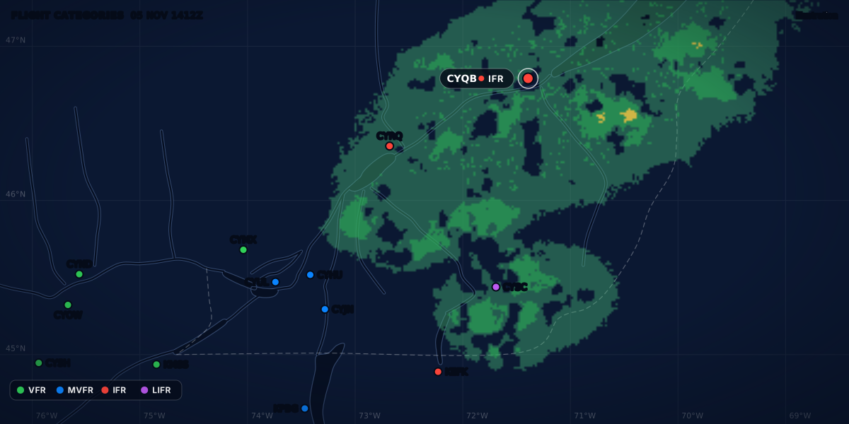
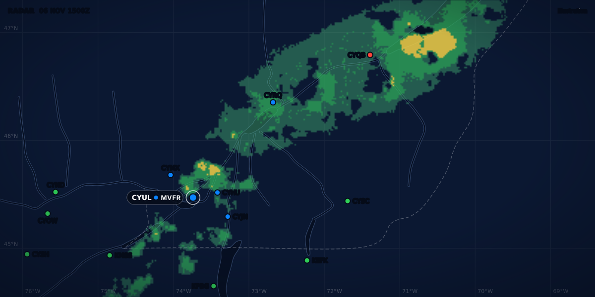
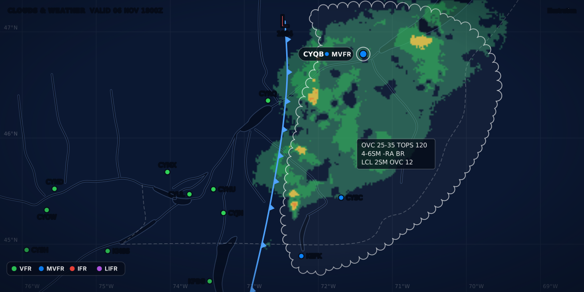
RADAR 05 NOV 1400Z
Illustration
How to read a METAR, group by group
Read any METAR in a minute: wind, visibility, weather, clouds, ceiling, temperature and altimeter, with a real Canadian report decoded group by group.
 Jp Valery
6 min read
A METAR is a routine weather observation from an aerodrome. Most stations issue one every hour, and a SPECI when the weather changes a lot between two reports. It is short because it was built for teletype, not for people. Once you know the order of the groups, you can read any of them.
Here is a real-format report from Montréal / St-Hubert (CYHU). We will read it from left to right.
Report type and station
METAR is a routine report. SPECI is a special report: a station issues one between two routine reports when the weather crosses a set threshold, and it uses the same format. The thresholds differ by country. In the United States, a ceiling that drops below 3,000 ft triggers a SPECI (FMH-1 2.5.2). In Canada, the ceiling list starts at 1,500 ft (TC AIM MET 8.3.1). The guide to SPECI reports sets the two lists side by side.
CYHU is the ICAO location indicator of the station. Canadian weather stations have indicators that start with C, then W, Y or Z (TC AIM MET 8.2). Stations in the contiguous United States start with K, and those in Alaska and Hawaii with P (NWSI 10-813, Appendix B).
Date and time
051400Z is the day of the month (05) and the time (14:00), always in UTC, which the Z stands for. To get local time, apply your offset: 14:00Z is 09:00 EST or 10:00 EDT in Montréal.
You may also see a modifier after the time. AUTO means an automated station made the report with no human observer (FMH-1 12.6.4). A corrected report carries CCA in Canada (CCB for a second correction, TC AIM MET 8.2) and COR in the United States (FMH-1 12.6.4).
Wind
20010G18KT reads as: from 200 degrees true, 10 knots, gusting 18 knots.
- The first three digits are the direction the wind blows from, in degrees true.
- The next two (or three) digits are the mean speed.
G18is the gust speed. No G means that no gusts were reported. To compare gusts with your aircraft’s crosswind number, see crosswind limits and gusts.KTis knots. Some countries useMPS(metres per second) orKMH(TC AIM MET 8.2).
Other forms you will meet:
| Group | Meaning |
|---|---|
00000KT |
Calm |
VRB02KT |
Variable direction, 2 knots |
20010KT 170V240 |
Mean direction 200°, varying between 170° and 240° |
METAR wind is in degrees true, but the wind that ground control and the tower give you is in degrees magnetic, like the runway numbers (TC AIM RAC 4.2.5 and 4.4.2); in Canada’s Northern Domestic Airspace, the runway headings are true as well (RAC 2.2.1). The crosswind guide shows how to convert true to magnetic.
This is the wind at the surface. The wind at your cruise altitude comes from another forecast (TC AIM MET 9.2), and a headwind at that level costs time and fuel.
Visibility
15SM is 15 statute miles of prevailing visibility. Canada and the United States report in statute miles. Other countries, France among them, report in metres: 9999 means 10 km or more, 5000 means 5,000 m (Météo-France aviation guide, p. 16).
Fractions are common at low visibility: 1/2SM, 1 1/2SM. At a US automated station, M1/4SM means less than a quarter mile (FMH-1 12.6.6). In a TAF, P6SM means more than 6 statute miles (TC AIM MET 7.3).
Present weather
-SHRA is light rain showers. A weather group is built from up to four parts:
- Intensity:
-light, no sign moderate,+heavy.VCmeans in the vicinity, not at the station. - Descriptor:
SHshowers,TSthunderstorm,FZfreezing,BLblowing,DRdrifting,MIshallow,BCpatches. - Precipitation:
RArain,DZdrizzle,SNsnow,SGsnow grains,PLice pellets,GRhail,GSsnow pellets (small hail too, in Canada). - Obscuration:
BRmist,FGfog,HZhaze,FUsmoke.
So +TSRA is a thunderstorm with heavy rain, FZFG is freezing fog, and -SN BR is light snow and mist. The full list of weather codes has the rest, with the Canadian and US differences.
Clouds and the ceiling
BKN028 OVC060 lists the cloud layers from the lowest up. Each group is an amount and a height in hundreds of feet above ground level:
| Code | Amount | Sky covered |
|---|---|---|
FEW |
Few | 1 to 2 eighths |
SCT |
Scattered | 3 to 4 eighths |
BKN |
Broken | 5 to 7 eighths |
OVC |
Overcast | 8 eighths |
BKN028 is a broken layer at 2,800 ft AGL. OVC060 is an overcast layer at 6,000 ft.
The ceiling is the lowest layer reported as broken, overcast, or VV (vertical visibility, when the sky is hidden by fog or snow). Here the ceiling is 2,800 ft. FEW and SCT layers never make a ceiling. The guide what is a ceiling compares the Canadian, US and ICAO definitions.
CB or TCU after a layer (BKN025CB) flags cumulonimbus or towering cumulus. Take those seriously.
SKC means sky clear: no cloud at all (TC AIM MET 8.2). CLR comes from an automated station. It means that the sensor detected no cloud up to its limit: 12,000 ft in the United States (FMH-1 Table 12-3, note 1) and 25,000 ft for a Canadian AWOS, or 10,000 ft for some private AWOS (TC AIM MET 8.2). There can be cloud above that limit.
Temperature, dew point and altimeter
09/04 is the temperature (9 °C) and the dew point (4 °C). An M means minus: M03/M06. When the two values are close together, fog and low cloud become more likely. The fog guide explains what the spread can and cannot predict.
A2971 is the altimeter setting: 29.71 inches of mercury. Countries that use hectopascals write the QNH as Q1006 (Météo-France aviation guide, p. 17).
Remarks
Everything after RMK is remarks. They vary by country, and the remarks guide decodes the common US and Canadian ones.
SC6AC2is a Canadian cloud remark: stratocumulus covering 6 eighths of the sky, and altocumulus adding 2 eighths (TC AIM MET 8.2). It describes the same layers asBKN028 OVC060, with the cloud types.SLP063is the sea-level pressure in hectopascals, without the leading 9 or 10: 1006.3 hPa (TC AIM MET 8.2; FMH-1 12.7.1(w)).
Put it together
Read the groups in order and say them out loud:
CYHU at 14:00 UTC on the 5th. Wind 200° true at 10 knots, gusting 18. Visibility 15 miles in light rain showers. Broken at 2,800, overcast at 6,000. Temperature 9, dew point 4. Altimeter 29.71.
Every group of the report, decoded:
The ceiling of 2,800 ft puts this report in the MVFR category. The next question is what comes later, and that is the job of the TAF and its change groups.
Go deeper
- METAR codes and abbreviations: every weather, cloud and report code in one list.
- METAR remarks: what comes after
RMKin US and Canadian reports. - SPECI reports: what makes a station issue a special report.
- What is a ceiling?: the definitions side by side, and the edge cases.
- How to read a TAF: the aerodrome forecast, group by group.
- How to read aviation weather: every report, forecast and chart, and the question each one answers.
- No METAR at your airport?: where to get the weather for a field with no report.
Sources
- TC AIM (TP 14371) 2026-2, MET 8.1-8.3: METAR, national variations and SPECI criteria (also MET 7.3 and 9.2), Transport Canada
- TC AIM (TP 14371) 2026-2, RAC 2.2.1, 4.2.5 and 4.4.2: runway headings and the wind given by ATC, Transport Canada
- Federal Meteorological Handbook No. 1 (FCM-H1-2019), 2.5.2 and chapter 12: METAR and SPECI coding, Office of the Federal Coordinator for Meteorology
- NWS Instruction 10-813, Terminal Aerodrome Forecasts (October 30, 2024), Appendix B, National Weather Service
- Guide aviation 2024, pp. 16-17: decoding METAR and SPECI (ICAO format), Météo-France
Rules checked on
Common questions
What does Z mean in a METAR?
Z means Coordinated Universal Time (UTC): the date and time group always ends with Z (FMH-1 12.6.3). 051400Z is the 5th day of the month at 14:00 UTC.
What does AUTO mean in a METAR?
An automated station made the report, with no human observer: an AWOS in Canada (TC AIM MET 8.2), a fully automated report with no human intervention in the US (FMH-1 12.6.4). An automated station reports CLR, not SKC, when its sensor detects no cloud.
What does M mean in the temperature group?
M means minus: 04/M02 is a temperature of 4 °C and a dew point of −2 °C (FMH-1 12.6.10). M00 is a temperature below zero that rounds to 0, from −0.5 °C up to just below 0 °C (TC AIM MET 8.2).
Let the app do the decoding.
ClearMETAR turns every METAR and TAF into one plain sentence. Free on iPhone.