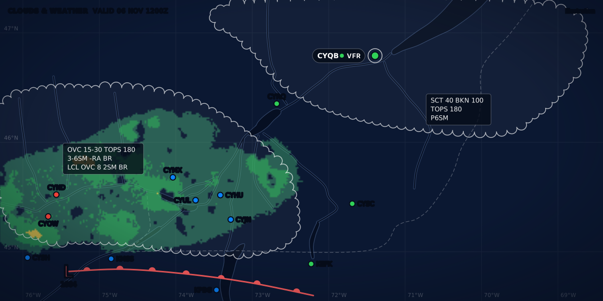
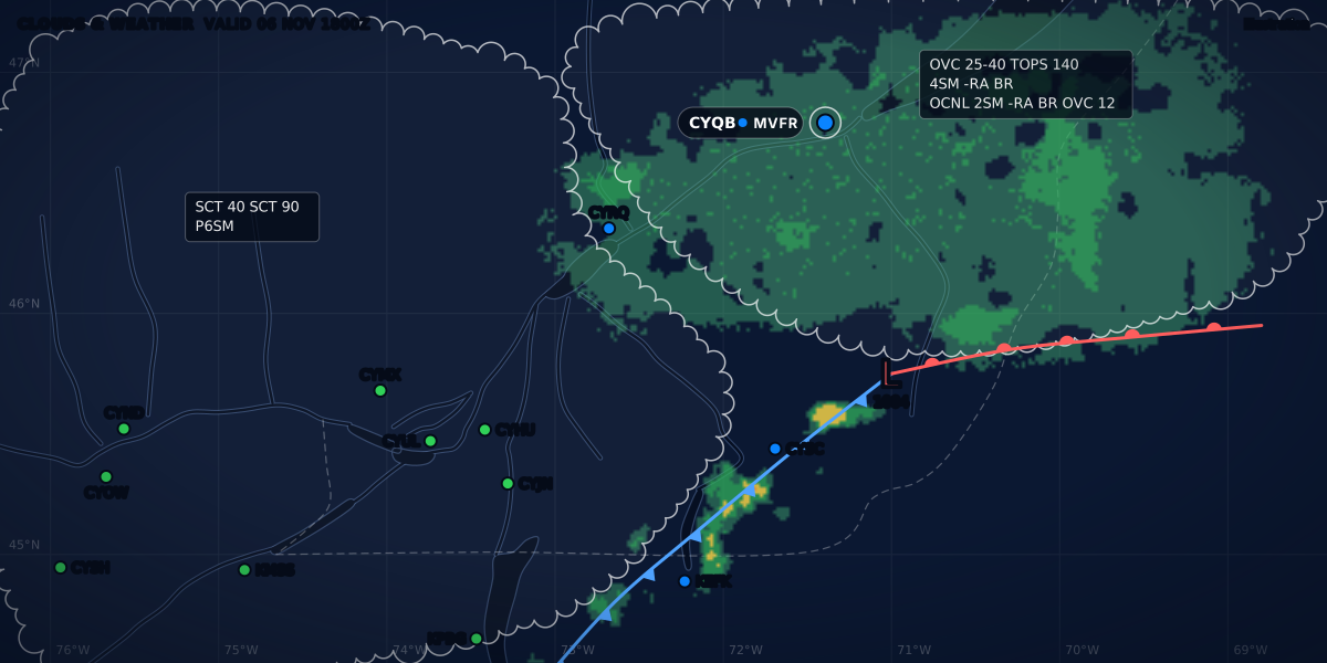
CLOUDS & WEATHER VALID 05 NOV 1800Z
Illustration
TAF change groups: FM, BECMG, TEMPO and PROB
How a TAF changes over time: FM, BECMG, TEMPO, PROB30 and PROB40 explained with a real-format Canadian TAF, and how to read them for planning.
 Jp Valery
6 min read
A METAR tells you what the weather was. A TAF (terminal aerodrome forecast) tells you what it should be, for up to 30 hours (TC AIM MET 7.3). It covers the area within 5 NM of the centre of the runways in Canada (TC AIM MET 7.2) and within 5 SM in the United States (NWSI 10-813, section 4). The first part of a TAF is the main forecast. Everything after it is a change group, and each one changes that forecast in its own way.
This guide covers the change groups. To decode the rest of a TAF, from the header to the remarks, read how to read a TAF.
Here is a real-format TAF for Montréal / St-Hubert (CYHU):
TAF CYHU 051140Z 0512/0612 19010KT P6SM -SHRA BKN030
     TEMPO 0514/0517 2SM -SHRA BR BKN009
     FM051700 22012G22KT P6SM SCT040 BKN080
     FM052200 25008KT P6SM FEW050
     FM060300 VRB03KT 5SM BR BKN020
     FM060800 VRB02KT 1SM BR OVC004
     RMK NXT FCST BY 051800Z
The header
051140Z is when the forecast was issued: the 5th at 11:40 UTC. 0512/0612 is the validity: from the 5th at 12:00 UTC to the 6th at 12:00 UTC.
The main forecast follows: wind 190° at 10 knots, visibility more than 6 SM (P6SM), light rain showers, broken at 3,000 ft. That is MVFR, because the ceiling is 3,000 ft.
FM: from
FM051700 means from the 5th at 17:00 UTC, a whole new forecast starts. Everything in the line replaces what came before: wind, visibility, weather and clouds.
FM changes are sharp. At 17:00 the forecast goes to wind 220° at 12 gusting 22, more than 6 SM, scattered at 4,000 and broken at 8,000: VFR.
In this TAF, three more FM groups follow. The night ends badly: from 08:00 UTC on the 6th, 1 SM in mist and overcast at 400 ft. That is LIFR.
BECMG: becoming
The CYHU TAF has no BECMG group. A typical one looks like this:
BECMG 0602/0604 OVC012BECMG is a lasting change that happens gradually at some time inside the period, here between 02:00 and 04:00 UTC on the 6th. In Canada the change period is normally 1 to 2 hours, and never more than 4 (TC AIM MET 7.3). After 04:00, the new conditions are the forecast. Elements the group does not mention stay as they were.
For flight planning, a BECMG to worse weather counts from the start of its period, and a BECMG to better weather only from its end (TC AIM MET 7.3).
US TAFs from the National Weather Service do not use BECMG. Their only change groups are FM, TEMPO and PROB30 (NWSI 10-813, Appendix B and E2).
TEMPO: temporarily
TEMPO 0514/0517 2SM -SHRA BR BKN009 means that between 14:00 and 17:00 UTC, the weather will temporarily drop to 2 SM in light rain showers and mist, with a broken ceiling at 900 ft. That is IFR.
TEMPO changes are short: each one lasts less than an hour, and together they cover no more than half of the period (TC AIM MET 7.3). Between them, the main forecast applies. So a TEMPO is not “maybe”: it says these conditions are expected, on and off. The US directive puts the chance of a TEMPO above 50 percent (NWSI 10-813, B2.9.3).
For a VFR pilot planning a flight at 15:00 UTC, the useful reading is: MVFR, with IFR showers coming and going. That is why, while the TEMPO is in force, ClearMETAR starts its forecast sentence for this TAF with “IFR showers possible until 17:00Z”, or “until 12:00” when it shows Montréal local time (EST).
A TEMPO group can carry gusts too, as in the NWS example TEMPO 2215/2217 30025G35KT 1 1/2SM SHRA BKN010 (NWSI 10-813, B2.9.3). If you fly with passengers, those are the bumpy hours: the guide to turbulence with passengers shows how to find the calm ones.
PROB30 and PROB40: probability
The CYHU TAF has no PROB group either. Here is one:
PROB30 0518/0521 3SM TSRA BKN030CBPROB30 gives a 30 percent chance that a thunderstorm brings 3 SM and a broken cumulonimbus layer at 3,000 ft between 18:00 and 21:00 UTC. PROB40 is a 40 percent chance. A chance below 30 percent is not forecast, and a chance of 50 percent or more goes in an FM, BECMG or TEMPO group instead (TC AIM MET 7.3).
Canada, the US and France
The groups mean the same thing everywhere, but the rules for using them differ.
| Canada | United States (NWS) | France (ICAO format) | |
|---|---|---|---|
| Change groups | FM, BECMG, TEMPO, PROB30, PROB40 | FM, TEMPO, PROB30 | FM, BECMG, TEMPO, PROB30, PROB40 |
| PROB with TEMPO | The PROB group comes after the TEMPO group, entirely inside or outside its hours | Never: PROB30 does not modify a TEMPO, and TEMPO does not modify a PROB30 | PROB alone, or combined: PROB40 TEMPO |
| PROB with BECMG | A BECMG can follow a PROB if they share no hours | No BECMG | Never: only TEMPO can follow PROB |
| Source | TC AIM MET 7.3 | NWSI 10-813, Appendix A, B2.9.4 and E2 | Météo-France aviation guide, p. 21 |
In Europe, the EASA basic instrument rating adds a weather check of its own, from 1 hour before to 1 hour after your arrival, or from your departure if that period is shorter (Part-FCL FCL.835(a)(5), Regulation (EU) 2020/359). The guide to EASA instrument ratings covers it.
How to read them together
- Start with the main forecast and the FM groups. They draw the timeline: one condition after the other.
- Lay the TEMPO and PROB groups on top. They are a second layer. They do not end the main forecast; they warn you about worse moments inside it.
- Plan with the worst condition you could meet. At your arrival time, take the main forecast, then check every TEMPO and PROB group that covers it.
In Canada, these groups count when you choose an IFR alternate: the TEMPO condition must not be below the alternate minima, and the PROB condition not below the landing minima (TC AIM RAC 3.13; IFR alternate requirements). They also count for VFR over the top: the rule takes the worst condition, TEMPO, BECMG and PROB included, from 1 hour before to 2 hours after your arrival (CARs 602.116(d)).
ClearMETAR draws exactly this: a timeline of categories for the main forecast, with TEMPO and PROB on a separate hatched layer above it, and a band for night.
Remarks
RMK NXT FCST BY 051800Z says the next TAF will be issued by 18:00 UTC (TC AIM MET 7.3). An amended forecast starts with TAF AMD. In Canada a correction also comes as TAF AMD (TC AIM MET 7.5), while US TAFs use TAF COR (NWSI 10-813, Appendix B). An amended TAF means the forecaster changed the forecast before the next scheduled issue, which is worth knowing.
Sources
- TC AIM (TP 14371) 2026-2, MET 7.2, 7.3 and 7.5: aerodrome forecasts (TAF), change groups and amendments, Transport Canada
- NWS Instruction 10-813, Terminal Aerodrome Forecasts (October 30, 2024): section 4, Appendices A, B and E, National Weather Service
- Guide aviation 2024, pp. 20-21: decoding the TAF (ICAO format), Météo-France
- TC AIM (TP 14371) 2026-2, RAC 3.13: requirements for an alternate aerodrome (IFR), Transport Canada
- CARs 602.116: VFR OTT flight, Justice Laws Website
- Commission Implementing Regulation (EU) 2020/359, Part-FCL FCL.835: basic instrument rating, EUR-Lex
Rules checked on
Common questions
What is the difference between TEMPO and BECMG?
BECMG is a lasting change that happens gradually during the given period; after it, the new conditions are the forecast. TEMPO is a short-lived change, less than an hour each time, after which the main forecast returns (TC AIM MET 7.3).
What does PROB30 mean in a TAF?
A 30 percent chance that the conditions in the group occur during the given period, and PROB40 is a 40 percent chance (TC AIM MET 7.3). US TAFs from the National Weather Service use PROB30 only (NWSI 10-813).
Should I plan with TEMPO conditions?
Yes, treat them as conditions you may meet: TEMPO weather can come back several times during its period (TC AIM MET 7.3). In Canada, TEMPO and PROB groups also count when you choose an IFR alternate (TC AIM RAC 3.13) and when you plan VFR over the top (CARs 602.116).
Let the app do the decoding.
ClearMETAR turns every METAR and TAF into one plain sentence. Free on iPhone.