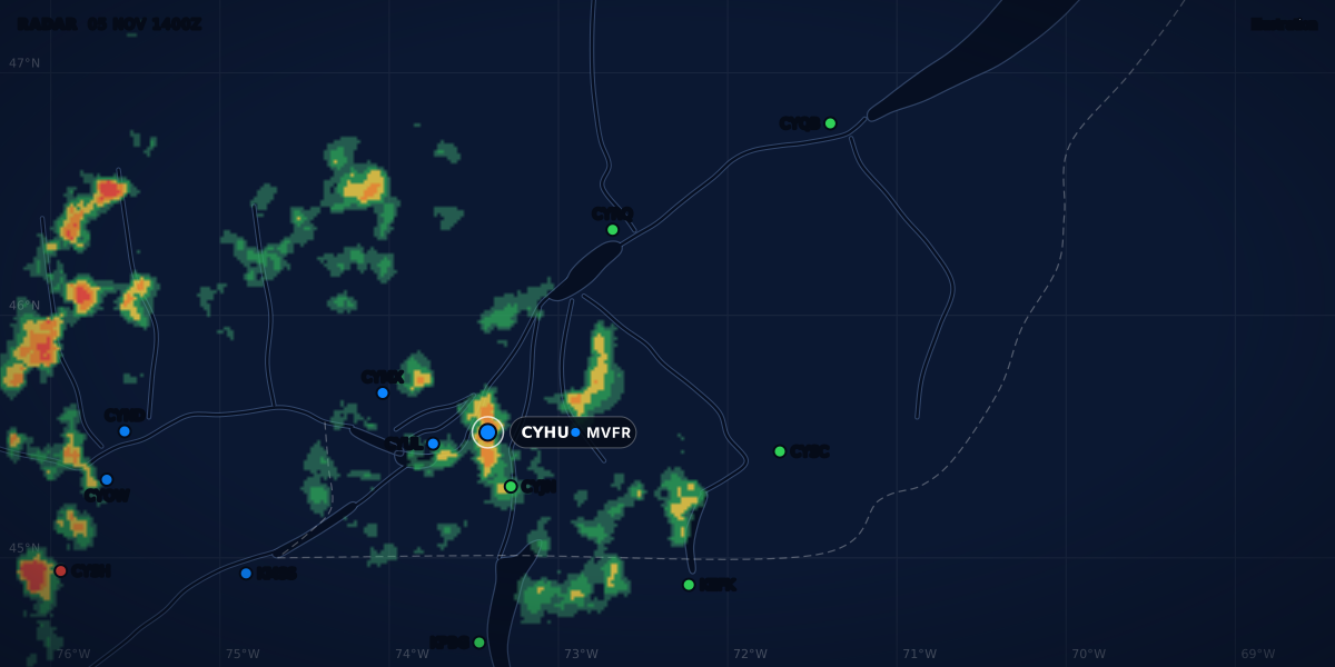
RADAR 12 NOV 1522Z
Illustration
SPECI METAR: what triggers a special weather report
A SPECI is a weather report issued between the hourly METARs when the weather crosses a threshold. The Canadian and US triggers, side by side.
 Jp Valery
10 min read
A SPECI is a special weather report. An aerodrome issues one between its routine METARs when the weather crosses a threshold. It uses the METAR format, so if you can read a METAR group by group, you can read a SPECI. What differs between countries is the list of thresholds, and each list has gaps.
Here is a real-format example (constructed, not a real report) from Montréal-Trudeau (CYUL), 22 minutes after the routine report:
The word SPECI in place of METAR tells you it is a special report. Its time, 15:22Z, is the time of the change, between two routine reports. You read the other groups as usual.
What a SPECI is
In Canada, METAR observations are normally taken and sent on the hour. A SPECI is reported “when weather changes of significance to aviation are observed” (TC AIM MET 8.1). The observing standard, MANOBS 11.2.2.1, says a SPECI contains every element of a METAR.
In the US, a SPECI is “an unscheduled report” taken when any of the criteria of FMH-1 2.5.2.a is observed. It has every element of a METAR and is made as soon as possible.
Four details matter when you read one:
- The reference is the last report. The change is measured against the preceding METAR or SPECI (TC AIM MET 8.3.1; MANOBS 2.9.1).
- The time is the time of the change. In Canada, the time in a SPECI is when the change happened (TC AIM MET 8.2). MANOBS 2.9.1 allows 5 minutes after that time to send it. In the US, it is the time the criterion was met or noted (FMH-1 2.6.4(c)).
- On the hour, it is a METAR. In the US, when a SPECI criterion is met at the time of the routine report, the report is a METAR (FMH-1 12.6.1).
- The lists are a minimum. A Canadian observer also issues a SPECI on request of a forecast centre or ATS, when told of an aircraft accident, or on their own initiative (TC AIM MET 8.3.2). The US list ends with “any other meteorological situation” that the agency designates or the observer finds critical (FMH-1 2.5.2.a.12).
Canadian SPECI criteria
TC AIM MET 8.3.1 lists the Canadian criteria. MANOBS 11.2.3 gives observers almost the same list. “Falls below” means the value goes under the threshold. “Rises to” means it comes back up to the threshold or above.
| Element | A SPECI when |
|---|---|
| Ceiling | It falls below or rises to 1,500, 1,000, 500 or 300 ft, or the lowest published minimum. 400, 200 and 100 ft apply only at aerodromes with precision approaches. |
| New low layer | A layer appears below 1,000 ft, or below the highest IFR straight-in or take-off minimum, and the previous report had no layer below that height. |
| Visibility | Prevailing visibility falls below or rises to 3, 1½, 1 or ½ SM, or the lowest published minimum. ¾ and ¼ SM apply only at aerodromes with precision approaches. |
| Thunderstorm | It begins, becomes heavy, or ends (15 minutes with no thunderstorm activity). |
| Precipitation | Freezing rain, freezing drizzle, ice pellets, rain, rain showers, drizzle, snow, snow showers, snow grains, hail or snow pellets begin, end or change intensity. Ice crystals begin or end. |
| Freezing fog | It begins or ends. |
| Wind | The mean speed suddenly at least doubles and goes above 30 kt, or the wind shifts. |
| Temperature | At 24 listed airports only: it rises by 5 °C or more from 20 °C or more, or it falls to 2 °C or lower. |
| Tornado, waterspout, funnel cloud | One is seen, goes out of sight, or is reported by a reliable source. |
| Volcanic eruption | A volcano erupts. |
Notes on the table:
- A wind shift is a change of 45° or more in less than 15 minutes, with a mean speed of 10 kt or more at the end (MANOBS 3.3.3).
- The temperature airports include Montréal-Trudeau, Mirabel, Ottawa and Québec (TC AIM MET 8.3.1(i)).
- After precipitation ends, the observer has up to 15 minutes before the SPECI is due. Light rain that turns to light rain showers (
-RAto-SHRA) needs no SPECI (TC AIM MET 8.3.1(f)). - MANOBS 11.2.3.9 adds significant low-level wind shear at 1,500 ft AGL and below. Service providers can add local criteria (TC AIM MET 8.3.2).
Freezing fog is the one obscuration on the Canadian list. Our guide to fog types explains what FZFG is.
US SPECI criteria
FMH-1 2.5.2.a gives the US list. Ceiling and visibility work as in Canada: a SPECI when the value “decreases to less than, or if below, increases to equal or exceed” a threshold.
| Element | A SPECI when |
|---|---|
| Ceiling | It forms or dissipates below, falls below, or rises to 3,000, 1,500, 1,000 or 500 ft, or the lowest standard instrument approach minimum (200 ft if none is published). |
| New low layer | A layer of cloud or obscuration is below 1,000 ft, and the preceding METAR or SPECI had none below 1,000 ft. |
| Visibility | It falls below or rises to 3, 2 or 1 mile, or the lowest standard instrument approach minimum (½ mile if none is published). |
| RVR | The highest value on the designated runway crosses 2,400 ft in the preceding 10 minutes. US military stations may not report this one. |
| Wind shift | The direction changes by 45° or more in less than 15 minutes, with 10 kt or more throughout. |
| Thunderstorm | It begins (not when one is already reported), or it ends. |
| Precipitation | Hail begins or ends. Freezing precipitation, ice pellets or snow begin, end or change intensity. |
| Squalls | Squalls occur. |
| Tornado, funnel cloud, waterspout | One is observed, or it disappears from sight or ends. |
| Volcanic eruption | An eruption is first noted. |
| Aircraft mishap | The station is told of a mishap, unless another observation came in between. |
A criterion applies only where the station can evaluate the event. FMH-1 2.5.2.b gives the example of a tornado at an automated station with no observer.
Side by side: the 3,000 ft gap
| Canada (TC AIM MET 8.3.1) | US (FMH-1 2.5.2.a) | |
|---|---|---|
| Ceiling, every aerodrome | 1,500, 1,000, 500, 300 ft | 3,000, 1,500, 1,000, 500 ft |
| Ceiling, other values | 400, 200, 100 ft at precision-approach aerodromes; lowest published minimum | Lowest approach minimum (200 ft if none) |
| Visibility, every aerodrome | 3, 1½, 1, ½ SM | 3, 2, 1 mile |
| Visibility, other values | ¾ and ¼ SM at precision-approach aerodromes; lowest published minimum | Lowest approach minimum (½ mile if none) |
| Rain, rain showers, drizzle begin or end | Yes | No |
| Freezing fog begins or ends | Yes | No |
| Temperature | At 24 airports | No |
| RVR | No | Yes |
| Squalls | No | Yes |
Now put the lists next to the flight categories. The NOAA Aviation Weather Center puts MVFR at a ceiling of 1,000 to 3,000 ft or a visibility of 3 to 5 miles, and VFR above both (AWC GFA help).
| Category change | SPECI in Canada? | SPECI in the US? |
|---|---|---|
| VFR to MVFR by ceiling | No | Yes, when the ceiling goes below 3,000 ft |
| VFR to MVFR by visibility (5 SM or less) | No | No |
| MVFR to IFR (ceiling below 1,000 ft or visibility below 3 SM) | Yes | Yes |
| IFR to LIFR (ceiling below 500 ft or visibility below 1 SM) | Yes | Yes |
From 1,000 ft and 3 SM down, both lists follow the category limits. Above them, a Canadian station can go from VFR to MVFR and send nothing until the next hourly METAR, if no other criterion is met. In both countries, a visibility that drops from 10 SM to 4 SM can also wait for the next routine report. A ceiling of exactly 3,000 ft is already MVFR, but it triggers nothing in either country.
The category is a summary; the VFR weather minimums are the law. The gap does not change what is legal. It changes how late you learn about it.
Automated stations, NOSPECI and ADVISORY NO SPECI
Not every station sends SPECIs, and some send a lot of them.
- Canadian AWOS (METAR AUTO). NAV CANADA and DND AWOS send
METAR AUTOon the hour andSPECI AUTOfor significant changes in ceiling, visibility and wind, and when thunderstorms, precipitation or icing start or stop (TC AIM MET 1.2.3(b) and 8.4.1). An AWOS normally sends more SPECIs than a staffed station: 5 to 6 percent of the time, it sends more than six in one hour. TC AIM MET 8.4.1 warns that “one report in a series should not be expected to represent the prevailing condition”. - Canadian LWIS. An LWIS sends an hourly report of wind, temperature, dew point and altimeter only, at aerodromes where METAR AUTO and SPECI AUTO reports are “not justified” (TC AIM MET 1.2.3(c) and 8.4.2). It sends no SPECI. The two fields I fly from, CSE4 and CSB3, have no weather report at all. Our guide to flying from a field without a METAR covers that case.
- ADVISORY NO SPECI (Canada). A Canadian forecast with the word
ADVISORYis an aerodrome advisory, issued in TAF format in place of a TAF.NO SPECImeans it is based on a station with a limited observing program that does not issue SPECIs (TC AIM MET 1.3.4(c) and 7.2). Between two reports from that station, nothing tells you what changed. - NOSPECI (US). At a staffed US station that does not take SPECIs, the remark
NOSPECImeans no change will be reported until the next METAR (FMH-1 12.7.1(y)). - France. Météo-France’s aviation guide says that France no longer produces SPECIs (Guide aviation 2024, glossary, p. 31). There, you get changes only in the routine METARs.
Worked example: one afternoon at Montréal-Trudeau
These three reports are real-format examples (constructed, not real reports). We compare CYUL with a US station that has the same weather. Only the rules differ.
At 14:00Z the broken layer is at 4,000 ft and the visibility is 15 SM. The category is VFR.
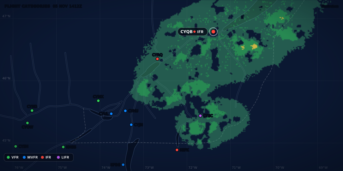
At 14:30Z the base of the broken layer comes down to 2,500 ft. The category is now MVFR. The Canadian ceiling list starts at 1,500 ft, so no criterion is met and CYUL sends nothing. A US station with the same sky sends a SPECI at 14:30Z, because the ceiling went below 3,000 ft.
At 15:00Z the routine METAR shows the MVFR ceiling. In Canada, that is the first report with the new category, 30 minutes after the change.
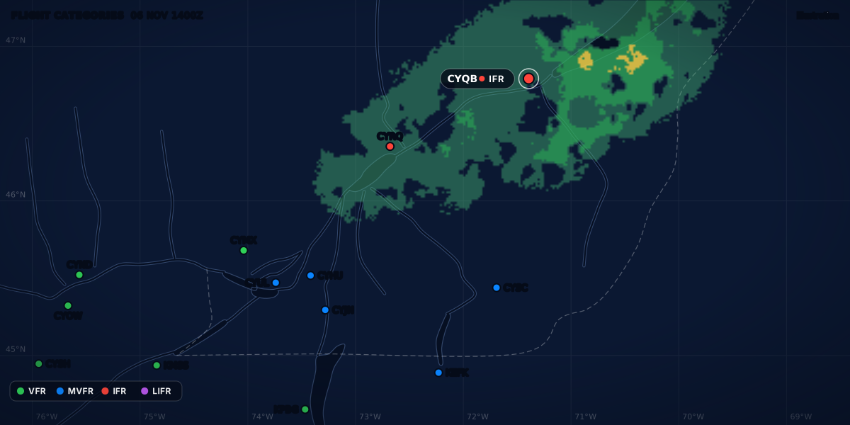
At 15:22Z a line of rain showers reaches the airport. The visibility drops to 2 SM and a broken layer forms at 800 ft. The category is IFR, and this time CYUL sends a SPECI.
| Time | Weather | Canada (CYUL) | US station, same weather |
|---|---|---|---|
| 14:00Z | BKN040, 15 SM: VFR |
METAR | METAR |
| 14:30Z | Ceiling 2,500 ft: MVFR | No report | SPECI: ceiling below 3,000 ft |
| 15:00Z | Same sky: MVFR | METAR, the first report that shows MVFR | Routine METAR |
| 15:22Z | BKN008, 2 SM in rain showers: IFR |
SPECI: ceiling below 1,500 and 1,000 ft, new layer below 1,000 ft, visibility below 3 SM, rain showers begin | SPECI: ceiling below 1,500 and 1,000 ft, new layer below 1,000 ft, visibility below 3 SM |
The 15:22Z SPECI meets four Canadian criteria at once. The start of the rain showers alone would be enough in Canada, but not in the US. The 14:30Z change meets none.
How to watch for changes between reports
A SPECI tells you that something changed. The absence of a SPECI does not tell you that nothing changed.
- Read the TAF next to the METAR. If the forecast brings the ceiling down during your flight, you know what to expect before a report shows it. See how to read a TAF.
- Read the last few reports, not only the last one. A trend from 4,000 to 2,500 ft says more than one report. When an AWOS sends several reports in a short time, TC AIM MET 8.4.1 also tells you to sum them up to see the trend.
- Read the time. In a SPECI, the time is when the change happened, not when you received it.
- Know your station. In Canada, a VFR to MVFR change can wait almost an hour for the next METAR. At an LWIS, at a station behind an
ADVISORY NO SPECIforecast, or at aNOSPECIstation, no report comes out between the routine ones. - Know the ceiling you are reading. Our guide on what counts as a ceiling explains why a scattered layer does not count.
ClearMETAR Pro can alert you when a SPECI comes out, when a station changes category, or when the TAF is amended. An alert reads the reports, so it cannot see a change that no report has shown yet. In the Canadian gap, the first report with the new category is the next routine METAR.
Sources
- TC AIM (TP 14371) 2026-2, MET 1.2.3, 1.3.4, 7.2, 8.1-8.4, Transport Canada
- MANOBS, 8th edition, Amendment 3 (September 2026), 2.9.1, 3.3.3, 11.1-11.2.3, Environment and Climate Change Canada
- Federal Meteorological Handbook No. 1 (FCM-H1-2019), 2.5.2, 2.6.4, 12.6.1, 12.7.1(y), Office of the Federal Coordinator for Meteorology
- GFA help: Gridded Flight Category Analysis, NOAA Aviation Weather Center
- Guide aviation 2024 (glossary, p. 31), Météo-France
Rules checked on
Common questions
Is a SPECI more important than a METAR?
No. A SPECI has the same format and every element of a METAR (MANOBS 11.2.2.1, FMH-1 2.5.2): it comes out between the routine reports because the weather crossed a threshold, and until the next report it is the newest one, so read it first.
Do automated stations issue SPECIs?
Yes: in Canada, NAV CANADA and DND AWOS issue SPECI AUTO reports when a threshold is crossed, but an LWIS does not (TC AIM MET 8.4.1 and 8.4.2). In the US, a criterion applies only where the station can evaluate the event, so the tornado criterion does not apply at an automated station with no observer (FMH-1 2.5.2.b).
Why was there no SPECI when the ceiling dropped to 2,500 ft?
In Canada the ceiling triggers start at 1,500 ft (TC AIM MET 8.3.1(a)), so a ceiling that falls from 4,000 to 2,500 ft waits for the next hourly METAR, unless another criterion is met. A US station issues a SPECI when the ceiling falls below 3,000 ft (FMH-1 2.5.2.a.8).
Let the app do the decoding.
ClearMETAR turns every METAR and TAF into one plain sentence. Free on iPhone.